OFFICIAL GOVERNMENT SOURCES ONLYTHE STATE & NATION RELEASE ARCHIVE
THE GOVERNMENT NEWS DESK

STATE & NATION TRAVEL

Arizona Travel.

National parks, historic sites and practical visitor updates, directly from the National Park Service.

NPS sources checked 10/3/2026, 12:43:50 PM Eastern

Travel Alerts & Closures

CHECK BEFORE DEPARTURE

Javelina Wash near Red Hills Visitor Center closed for safety

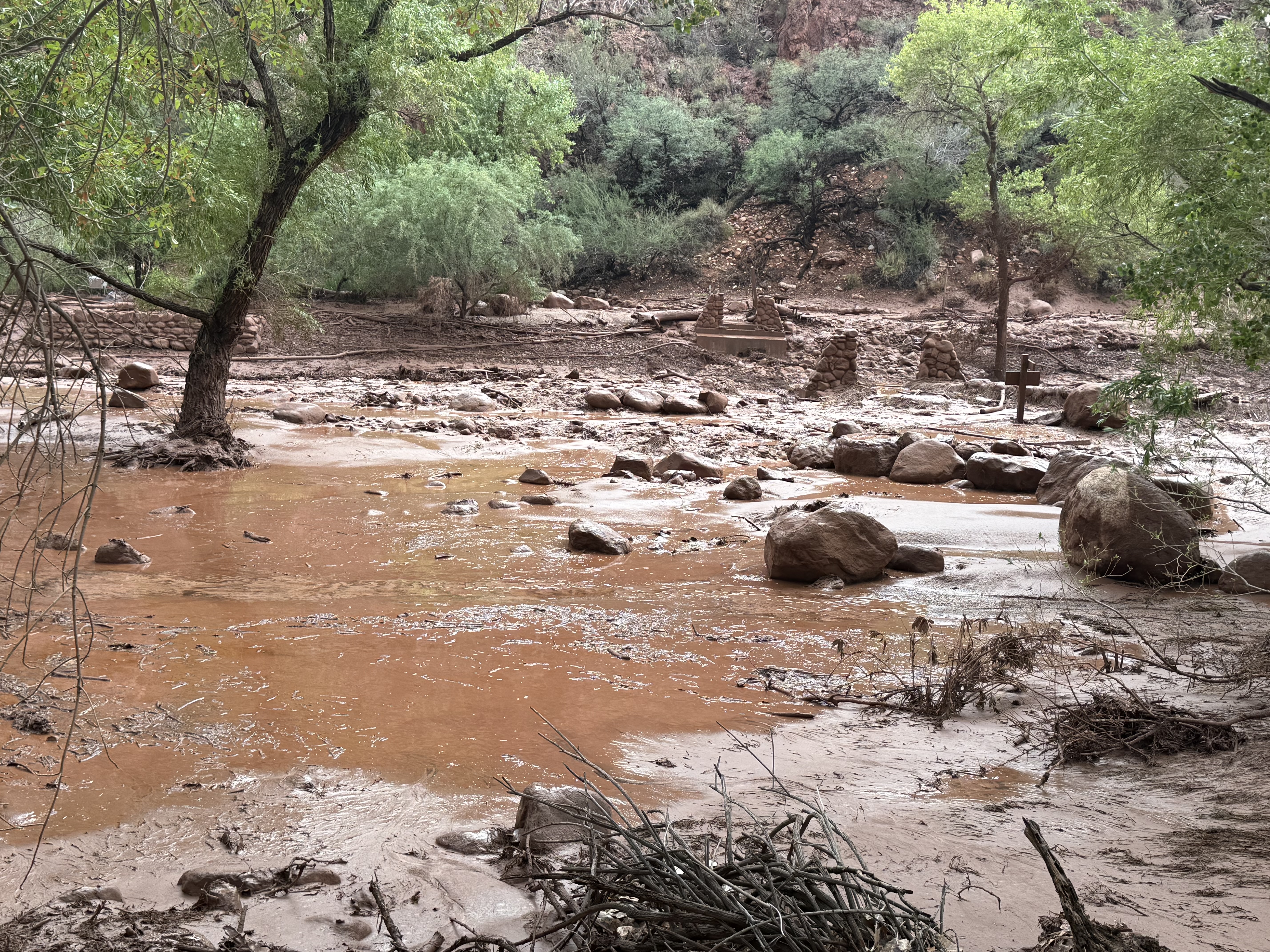
Due to recent flash flooding in the area, the Javelina Wash Trail just outside the Red Hils Visitor Center (Tucson Mountain District) is closed. The flooding caused damage to the trail, which is being worked on. The potential for more flooding presents a danger to visitors and staff. We appreciate your patience as we work to repair the damage.

Official NPS source

INNER CANYON WATER SHUTOFFS

Beginning Sep. 6, no potable water will be available in the inner canyon, including along the Bright Angel Trail (1.5 Mile Resthouse, 3-Mile Resthouse, Havasupai Gardens day use and campground). All backpackers and hikers should carry water filtration and treatment OR carry all water with them.

Official NPS source

Loop Drive closed in Tucson Mountain District due to storms.

The following areas in the Tucson Mountain District of Saguaro National Park are closed to public use: Bajada Loop Drive, including all of Hohokam Road and Golden Gate Road. The closure is a result of road damage due to flash flooding on the road. Signs are in place to inform visitors of the closure. The closure will be lifted when the road is repaired, the area is safe to reenter, and the signs are removed.

Official NPS source

INNER CANYON TRAIL CLOSURES

Current trail closures: The entire North Kaibab Trail (including Cottonwood Campground), Phantom Ranch, Bright Angel Campground, Silver Bridge, the South Kaibab Trail below Tip-Off, the River Trail east of the River Resthouse to the South Kaibab Trail junction, and the Black Bridge. Please do not attempt to access the closed areas.

Official NPS source

Harmful Algae Bloom

A Harmful Algae Bloom has been confirmed in recent water samples taken from the Nelson's Landing and the Cottonwood Cove areas on Lake Mohave. To reduce health risks, the National Park Service recommends recreators limit body contact with these waters when algae is present. Please click here for pictures of this dangerous cyanobacteria and contact the Park at 702-293-8990 for updates on this advisory.

Official NPS source

Government Wash and 8.0 Mile Road Seasonal Closure May 15 – October 15th

The Government Wash campground and 8.0 Mile Road will close on May 15th to vehicle access and overnight camping to assess and manage area improvements and protect visitors and staff from extreme heat risks. The campground is anticipated to reopen for overnight stays on October 15th. It will remain open this summer to non-motorized vehicle access for daytime, non-camping related activities.

Official NPS source

Bacteria Levels at Arizona Hot Springs

Fecal bacteria in water samples taken from Arizona Hot Springs frequently reach high levels, which can transmit human diseases. To reduce health risks, the National Park Service recommends recreators limit body contact in these waters, clean after use, and to never put your head under water at hot springs. Please contact the Park at 702-293-8990 for updates on this advisory.

Official NPS source

Water is Required

Due to the trail being steep of 12 percent grade, all visitors wishing to hike the Lower Cliff Dwelling Trail must bring a water bottle with them. No Exceptions.

Official NPS source

RV and trailer precautions: be aware of vehicle restrictions before visit.

As the busy season ramps up, traffic will be denser and can result in delays and complications particularly for owners of longer vehicles. The Tucson Mountain District (west side) of the park can accommodate vehicles up to 40ft in total length on the loop drive and has RV parking available at the Visitor Center, and the Rincon Mountain District (east side) can accommodate vehicles up to 40ft in length on the loop drive but has no RV parking available at the Visitor Center.

Official NPS source

Park Headquarters Phones are Down

Phones at park headquarters are currently down. Please call the visitor center at Painted Desert Inn 928-235-2467 or the Visitor Services office 928-235-2391 between 8 am and 5 pm. You can also send us an email at pefo_information@nps.gov.

Official NPS source
Official conditions for each destination

Latest NPS News

Browse the archive

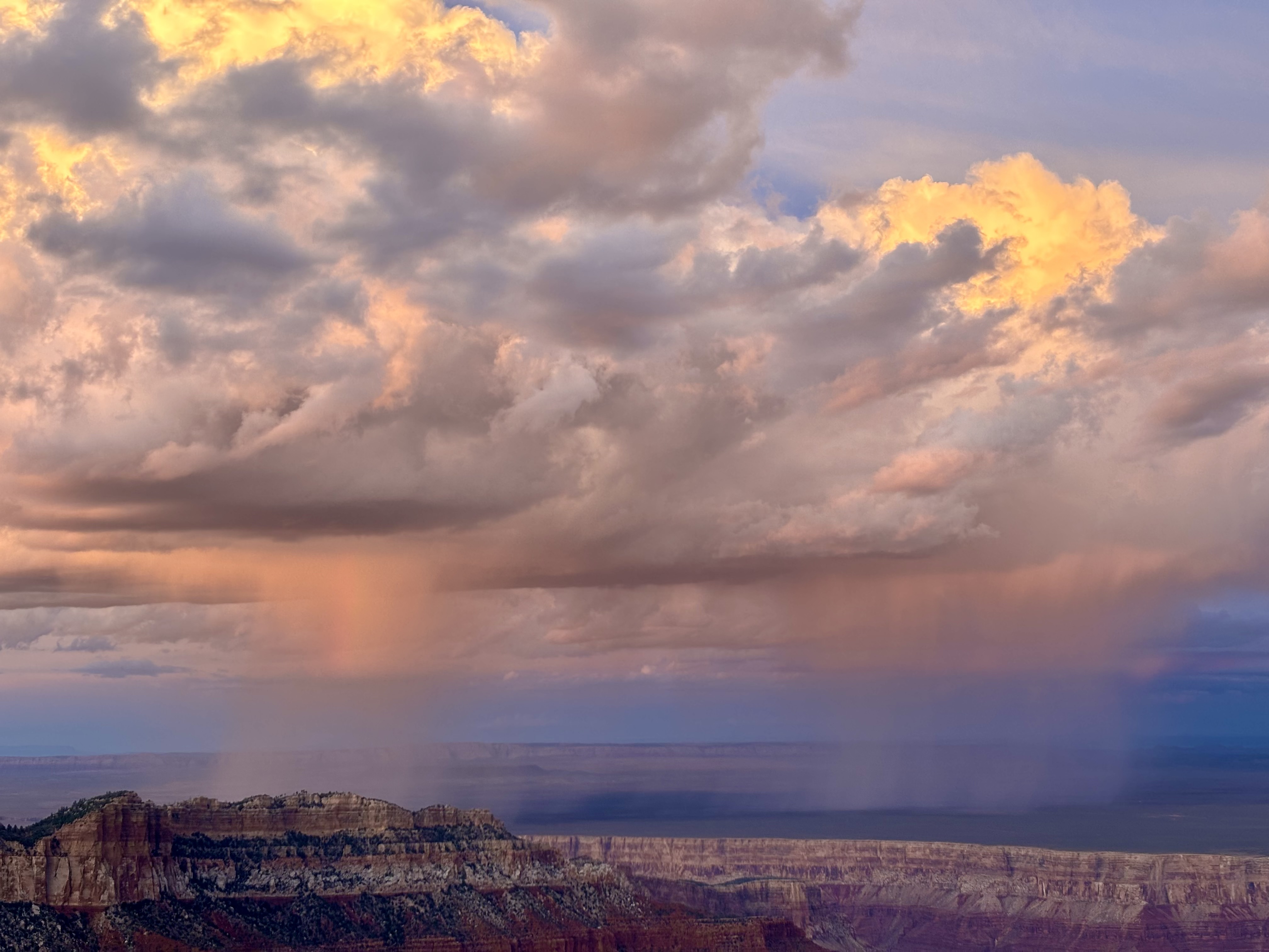
Modified Fall Operations Begin at Grand Canyon’s North Rim Oct. 15

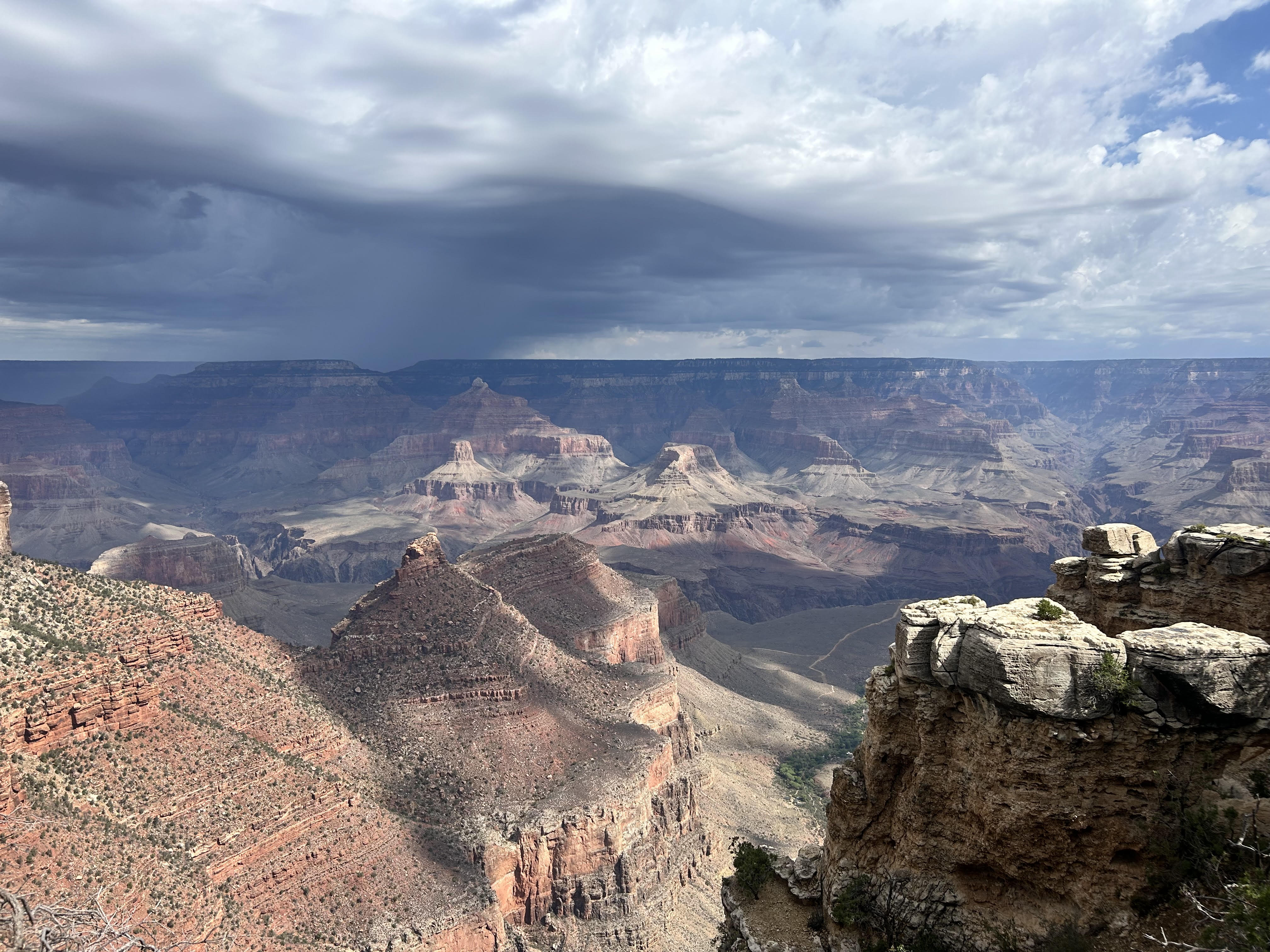
A peak in the inner canyon stands out among pink and blue rainclouds
National Park Service · Original image and credit

Grand Canyon National Park will begin modified fall operations at the North Rim on Oct. 15. As part of this transition Cape Royal Road and Point Imperial Road will be temporarily closed from sunset Oct. 15 through sunrise Nov. 3, 2026, to accommodate critical road repair and rehabilitation work in partnership with the Federal Highway Administration. The closure is necessary to maintain a safe work environment for crews while they complete these critical repairs.

Official NPS source

Grand Canyon National Park Announces Recovery and Repair Plan Following Flash Flood

Two people walk down a trail next to a stone cabin
National Park Service · Original image and credit

Grand Canyon National Park continues response and recovery operations following the significant August 29 flash flood in Bright Angel Canyon and the Phantom Ranch area. Search operations remain active, while crews continue infrastructure assessments, stabilization work and efforts to restore a reliable water supply to the South Rim.

Official NPS source

Grand Canyon National Park Expands Inner Canyon Closures Following August 29 Flash Flood

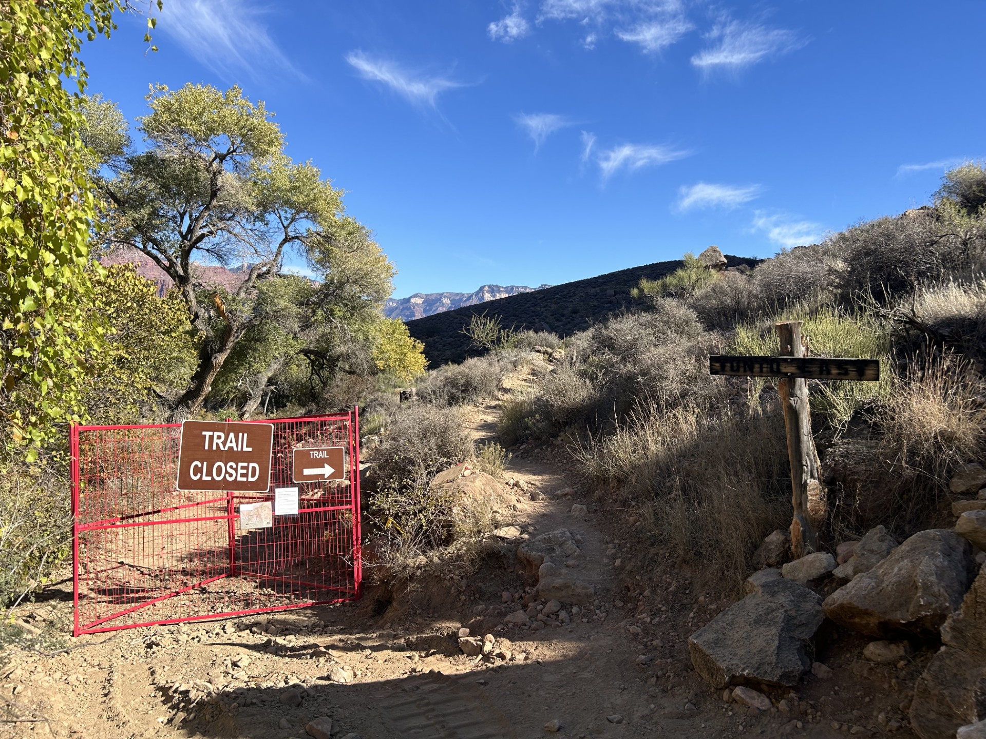
A 'trail closed' sign on a trail in the inner canyon
National Park Service · Original image and credit

Grand Canyon National Park continues response and recovery operations following the destructive August 29 flash flood that caused significant damage in Bright Angel Canyon and the Phantom Ranch area. Park staff and partner agencies are conducting damage assessments and beginning repair and stabilization work in areas where trails, bridges, utilities and other infrastructure were damaged or destroyed. Maintaining safe access for response personnel and keeping visitors out of hazardous areas is critical as this work continues.

Official NPS source

Two Deceased Hikers Recovered and Identified Following Flash Flood

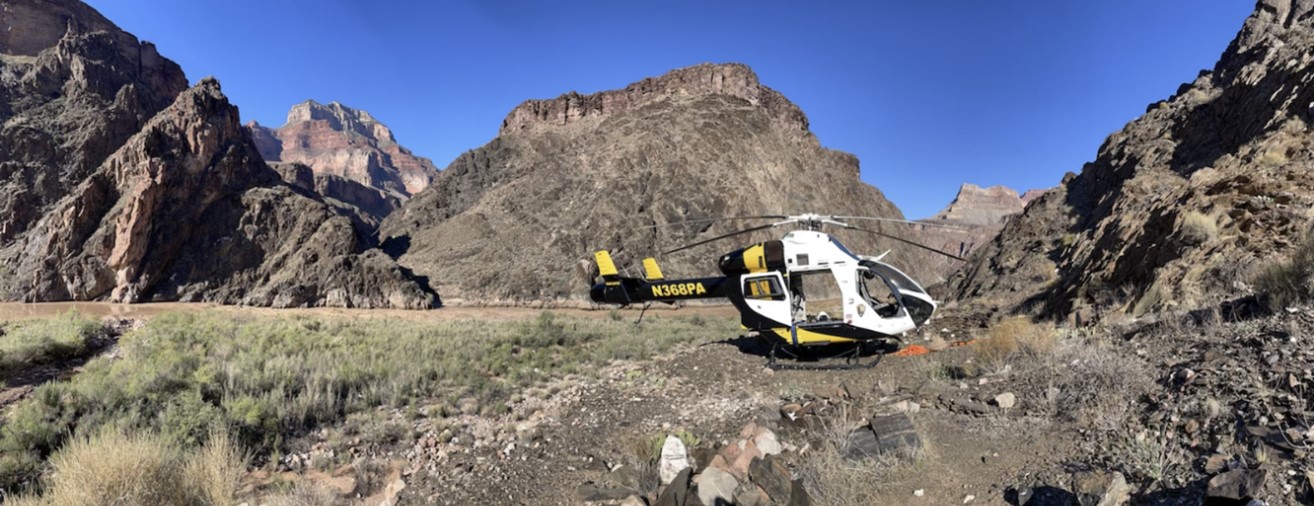
A black and yellow helicopter near Crystal Rapid along the Colorado River
National Park Service · Original image and credit

The National Park Service has recovered the bodies of two hikers who were caught in a destructive flash flood Aug. 29 in Bright Angel Canyon. The hikers have been identified as John Giusti, 46, and Brent Rosenkranz, 42, both of Granbury, Texas. One member of the hiking group remains missing. Search and rescue operations are ongoing, with teams continuing efforts to locate the missing hiker and account for anyone else who may have been in the affected area at the time of the flood.

Official NPS source

Grand Canyon National Park to Close Overnight Hotel Accommodations Beginning August 31

A storm system moves across the North Rim of Grand Canyon National Park on August 29, 2026. The storm produced heavy rainfall that contributed to significant flash flooding in Bright Angel Canyon and the Phantom Ranch area.
National Park Service · Original image and credit

Grand Canyon National Park will implement Stage 4 water restrictions on the South Rim beginning at noon on August 31 in response to the significant flash flooding that occurred along Bright Angel Canyon on August 29. The flooding caused extensive damage to infrastructure in the inner canyon, including the Transcanyon Waterline, which supplies water from the canyon for use in the park.

Official NPS source

Public Assistance Requested to Account for Individuals Following Grand Canyon Flash Flood

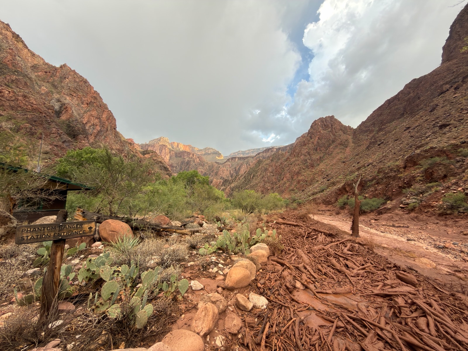
Dark red muddy water with woody debris surrounding the phantom ranch inner canyon area
National Park Service · Original image and credit

The National Park Service is asking the public to provide information for approximately 15 individuals who may be missing or unaccounted for following a significant flash-flood event in Bright Angel Canyon and the Phantom Ranch area on August 29. Grand Canyon National Park staff, in coordination with the Arizona Department of Public Safety, are continuing evacuation and response efforts and working to account for individuals who may have been in the affected area.

Official NPS source

Significant Flash Flooding Closes Phantom Ranch and North Kaibab Trail

Muddy water and debris spans across an inner canyon landscape
National Park Service · Original image and credit

A significant flash-flood event occurred in Bright Angel Canyon and the Phantom Ranch area on August 29, beginning at approximately 2:30 p.m. As of the morning of August 30, 62 individuals have been evacuated from Phantom Ranch and the lower North Kaibab Trail. Additional individuals are scheduled to be evacuated this morning from Cottonwood Campground and Phantom Ranch in coordination with the National Park Service and Arizona Department of Public Safety.

Official NPS source

South Rim Services Expand as Water Conservation Measures Continue at Grand Canyon National Park

Grand Canyon National Park is continuing to ease water conservation measures as water supply levels improve. Water spigots in Mather and Desert View Campgrounds have been turned on. Camper Services, operated by Delaware North, will reopen to the public on Friday, August 21. Fire restrictions at Mather and Desert View Campgrounds have been lifted; however, campfires are only permitted in established campfire rings. Visitors and residents are reminded to use caution and practice responsible fire use at all times.

Official NPS source

Grand Canyon National Park Implements South Rim Water Conservation Measures Following Transcanyon Waterline Break

A gush of water expands 20 feet from a trail in the inner canyon
National Park Service · Original image and credit

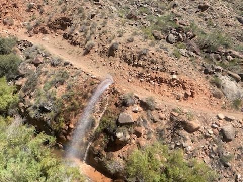
Effective immediately, Grand Canyon National Park is implementing water conservation measures on the South Rim following a break in the Transcanyon Waterline. The most recent pipeline break occurred approximately one mile below Cottonwood Campground along the North Kaibab Trail. As a result, water is currently unable to be pumped to the South Rim.

Official NPS source

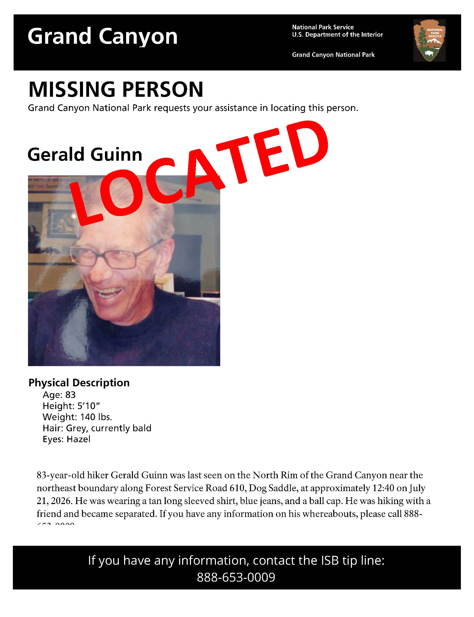
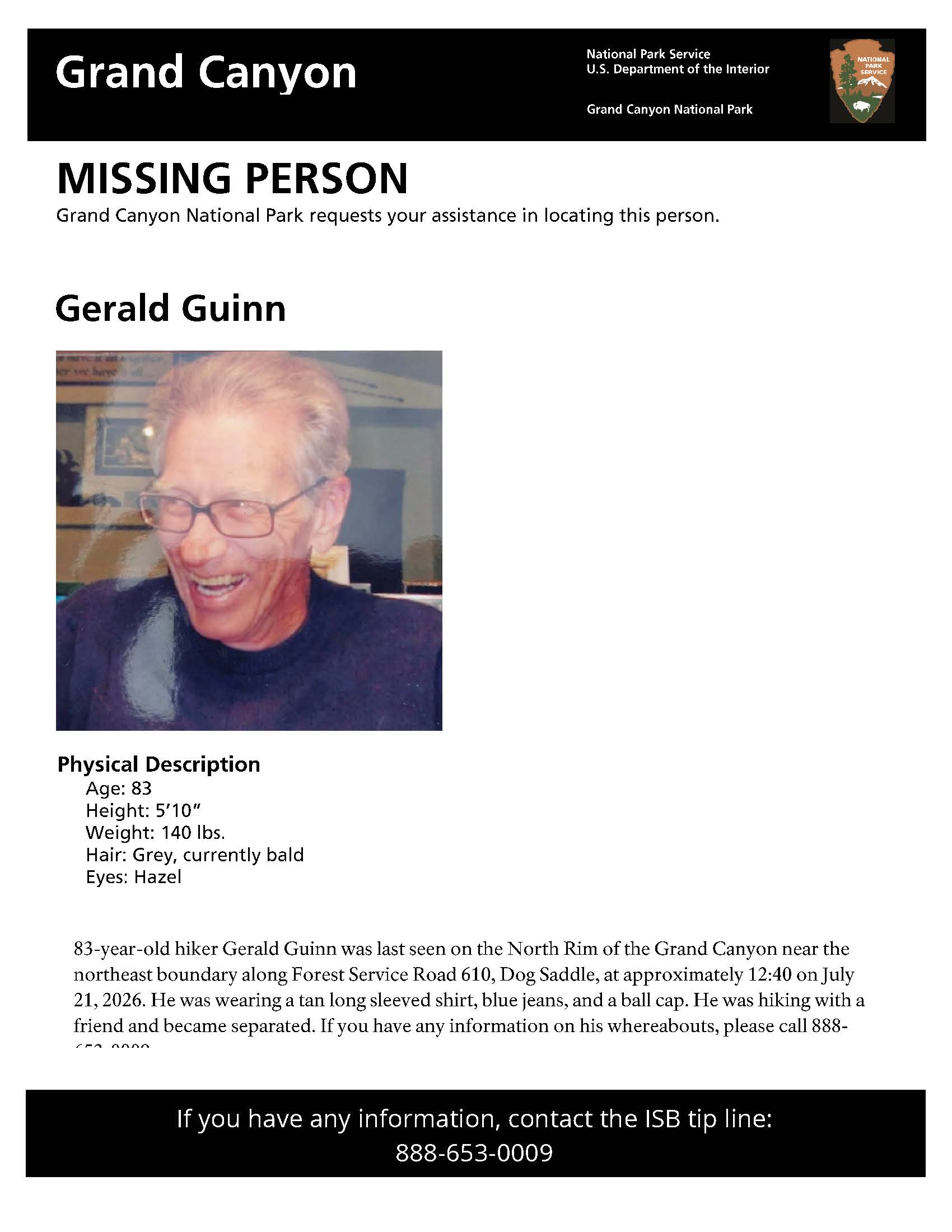
Search underway for missing hiker on Grand Canyon's North Rim

A missing person flyer showing a man in his 80s with gray hair. The man was last seen in a remote section of the North Rim on July 21, 2026.
National Park Service · Original image and credit

National Park Service personnel and partner agencies are searching for a missing hiker on the North Rim of Grand Canyon National Park. At approximately 5 p.m. on July 21, the Grand Canyon Regional Communications Center received a report from an individual who said he had become separated from his hiking partner. The two were hiking in a remote area of the North Rim near the park's northeast boundary along Forest Service Road 610 (Dog Saddle).

Official NPS source

Upcoming NPS Events

NEXT 90 DAYS

Anza Exhibit at the Monterey History & Art Association Museum at Stanton Center

The exhibit commemorates the 250th anniversary of the Anza expedition by exploring both the expedition itself and the environment the settlers found when they arrived in Monterey. Panels discuss the founding of Monterey, early buildings and structures, the Anza expedition, and three Voyages of Discovery (La Perouse, Malaspina and Vancouver) that visited Monterey relatively soon after the settlers arrived. Reproductions of 22 drawings created by voyage artists provide a visual sense of place and time. An NPS Anza Trail poster will be displayed, and brochures and travel guides will be made available to visitors.

Official NPS source

Garden Walk (East District)

Join us for a casual walk and talk through our ethnobotanical garden to learn some sharp facts about the Sonoran Desert! From the mighty saguaro cactus to the smallest flower, come let your curiosity blossom. This is an accessible program.

Official NPS source

Fall Bird Walks at Coronado National Memorial!

🐦🍂 Fall migration is underway! Join us every 2nd and 4th Sunday, September through November, for a relaxed guided bird walk with park staff. It’s a great chance to spot migratory species passing through the region alongside birds that call the park home year-round. 🌞Bring: Water, sun protection, and binoculars (or borrow ours!) 🌄Terrain: Uneven in spots, but we don’t go far 🚶‍♀️‍➡️Who: All skill levels welcome, including families and first-time birders As the days get shorter and cooler, our skies and woodlands welcome a changing cast of birds. Keep an eye out for woodpeckers, sparrows, warblers, and other species—some settling in for the winter and others simply stopping over on their journey south. During the walk through the picnic area and back, park staff will help you sharpen your observation skills, identify the birds we encounter, and learn more about the important roles birds play in our ecosystem. Whether you’re a seasoned birder or just curious about what’s flying around, come see what we can find together! 🐦 Can’t make a scheduled walk? Stop by the visitor center and ask a ranger what birds have been seen recently and where you might find them in different habitats around the park. You can also check our lobby whiteboard for recent sightings and pick up a printed bird checklist.

Official NPS source

Weekend Hiker's Transport (5.7 to 9-mile hike required)

Fall 2026, the hiker transport will operate Saturdays and Sundays. Hikers may ride from Faraway Ranch to the top to hike back down. Departure Times & Locations: 9:00 AM – Faraway Ranch Parking Lot 9:10 AM – Restrooms at Bonita Canyon Campground (Campers Only) Transport Route: from Faraway Ranch to Massai Point or Echo Canyon once daily. Hiking Route: Riders choose between two routes, hiking 5.7 miles or 9 miles back to their vehicle. Trail Conditions & Preparation: These routes descend approximately 1,500 feet in elevation from the upper trailheads to the monument’s lower area. Trails are strenuous , with steep sections, loose sand, and rocky footing. Wear sturdy hiking boots and bring plenty of water , electrolytes, or salty snacks. Important Notes: Service is subject to staff availability Shuttle does not run during inclement weather or dangerous temperatures Limited to the first 13 passengers Groups of 6 or more may be asked to use their own vehicles when space is limited Riders must park in the Faraway Ranch Parking Lot , unless camping overnight Private cars can make the drive at any time. The parking areas may fill during busy winter season, but you are not required to use the transport.

Official NPS source

Fine Art Exhibition and Sale | South Rim Village - Kolb Studio | Grand Canyon Celebration of Art 2026

2026 Grand Canyon Celebration of Art Exhibition and Sale in historic Kolb Studio on the South Rim. Celebration of Art (CoA) brings artists together, from throughout the region, to paint "en plein air" (outside on location) the world-class scenery the canyon offers. The artists are tasked with capturing the ever-changing colors and light as the sun moves across the intricate layers of the canyon. Paintings produced during this special event are shared with the public during a six-month sale and exhibition online and at Historic Kolb Studio. All available artwork is available for sale online at shop.grandcanyon.org , with proceeds going towards a fund to establish a dedicated art venue at the South Rim. Kolb Studio is open to the public daily from 9:00 a.m. - 5:00 p.m.

Official NPS source

Montezuma Pass Ride with a Ranger and Hiker Transport

Montezuma Pass ride with a ranger and hiker shuttle begins October 1st.This free shuttle from the Coronado National Memorial Visitor Center to the stunning Montezuma Pass Overlook includes a guided ranger program on the ride up. Come with questions and curiosity for the trip! When: Every Thursday, Friday, Saturday, and Sunday at 8:30 AM through the end of April (runs once per day) No service on Thanksgiving Day, Christmas Day or New Years Day What to Expect: A ranger led program during the ride up, culminating in a short orientation and wrap-up at the pass. Breathtaking views Your choice: Hike the scenic 3.1-mile Joe’s Canyon Trail (1,300 ft descent) back to your vehicle Or ride the shuttle back to the visitor center with the ranger If hiking, be prepared: Bring water Wear sturdy shoes and layered clothing Use sun protection Shuttle Details: First-come, first-served (11 seats available) Sign up at the visitor center (opens at 8:00 AM) Each rider must sign a liability waiver No large groups—please contact the park for special arrangements Child safety seats required for young riders, not provided by memorial Subject to weather and staff availability Don’t miss this chance to enjoy one of the most beautiful hikes in the region—stress-free!

Official NPS source

Sun Fun!

Stop by the Chiricahua National Monument Visitor Center at 10:00 AM for a one‑hour peek at our nearest star through a specially equipped solar telescope. Watch the Sun come to life as you safely view sunspots, dancing prominences, and swirling solar textures—all while park rangers share cool facts and fiery stories about our amazing star. It’s bright, it’s bold, and it’s a blast… literally!

Official NPS source

Pearce Ferry Road Litter Cleanup

Join the Meadview and South Cove communities to assist with a road cleanup. Volunteers will work closely with park staff to safely cleanup the Pearce Ferry Road. Registration is required. Space is limited. To register, please email LAKE_volunteer_coordinator@nps.gov .

Official NPS source

Starlight Snapshots: A Beginner’s Astrophotography Adventure

Join Ranger Laren for a fun intro to night‑sky photography. You’ll pick up simple techniques for capturing stars and planets with confidence, and experienced photographers are welcome to join in and share the adventure. Bring your DSLR or mirrorless camera, tripod, camp chair, red light, and a few extra layers for the cool evening air.

Official NPS source

🐾 Pawprints on History: The Silver Spur Meadow Bark Ranger Walk

Explore Silver Spur Meadow on this fun, dog‑friendly history walk! As you stroll past old stone remnants from CCC Camp NM‑2‑A, imagine hardworking CCC boys living right here among your paw steps—they built trails, stabilized structures, improved roads, and made Chiricahua safer and more accessible for future explorers (including today’s pups!). You will also learn how your own pup can become an official Bark Ranger and earn a Chiricahua National Monument Bark Ranger Certificate for completing the adventure.

Official NPS source
Official destination calendars

National Parks & Federal Sites

25 DESTINATIONS

National Historic Trail

Butterfield Overland

In 1857, businessman and transportation entrepreneur John Butterfield was awarded a contract to establish an overland mail route between the eastern United States and growing populations in the Far West. What became known as the Butterfield Overland Trail made an arcing sweep across the southern rim of the country. Stagecoaches left twice a week carrying passengers, freight, and mail.

Arizona · Arkansas · California · Missouri · New Mexico · Oklahoma · Texas

National Monument

Canyon de Chelly

This canyon is home to Diné families who raise livestock, grow crops and live here. People have lived in these canyons for nearly 5,000 years, which is longer than anyone has lived continuously on the Colorado Plateau. In this place called Tsegi, their homes and images tell us their stories. Today, the park and Navajo Nation work together to manage the rich cultural and natural resources.

Arizona

National Monument

Casa Grande Ruins

An Ancestral Sonoran Desert People's farming community and "Great House" are preserved at Casa Grande Ruins. Whether a gathering place for people or simply a waypoint marker in an extensive system of canals and trading partners, the structures are a large part of the story of this site. Explore the history and stories of an extended network of communities and irrigation canals.

Arizona

National Monument

Chiricahua

Explore rhyolite pinnacles and balanced rocks on foot or by car. Relax at the campground under star-filled, dark skies. See how a mountain range rising between two deserts creates a home for diverse wildlife. Imagine history here. Prehistoric peoples, Apaches, Buffalo Soldiers, Civilian Conservation Corps, ranchers, and homesteaders inhabited Chiricahua.

Arizona

National Memorial

Coronado

It was a journey of conquest filled with exploration, wonder - and cruelty. Inspired by tales of vast cities of gold, 339 European soldiers and over a thousand Aztec allies embarked on an epic journey through arid deserts and rugged mountains. They encountered rich traditions and brought new technologies. The resulting collision and combination of cultures reverberates today.

Arizona

National Historic Site

Fort Bowie

For nearly 25 years, Fort Bowie stood at the crossroads of the Chiricahua Apache's fight to defend their ancestral homeland and the U.S. Army's westward expansion. Today, visitors embark on a 3-mile scenic loop trail traversing the ground where this profound cultural collision forever altered the course of both American and Indigenous history.

Arizona

National Recreation Area

Glen Canyon

Encompassing over 1.25 million acres, Glen Canyon National Recreation Area offers unparalleled opportunities for water-based & backcountry recreation. The recreation area stretches for hundreds of miles from Lees Ferry in Arizona to the Orange Cliffs of southern Utah, encompassing scenic vistas, geologic wonders, and a vast panorama of human history.

Arizona · Utah

National Park

Grand Canyon

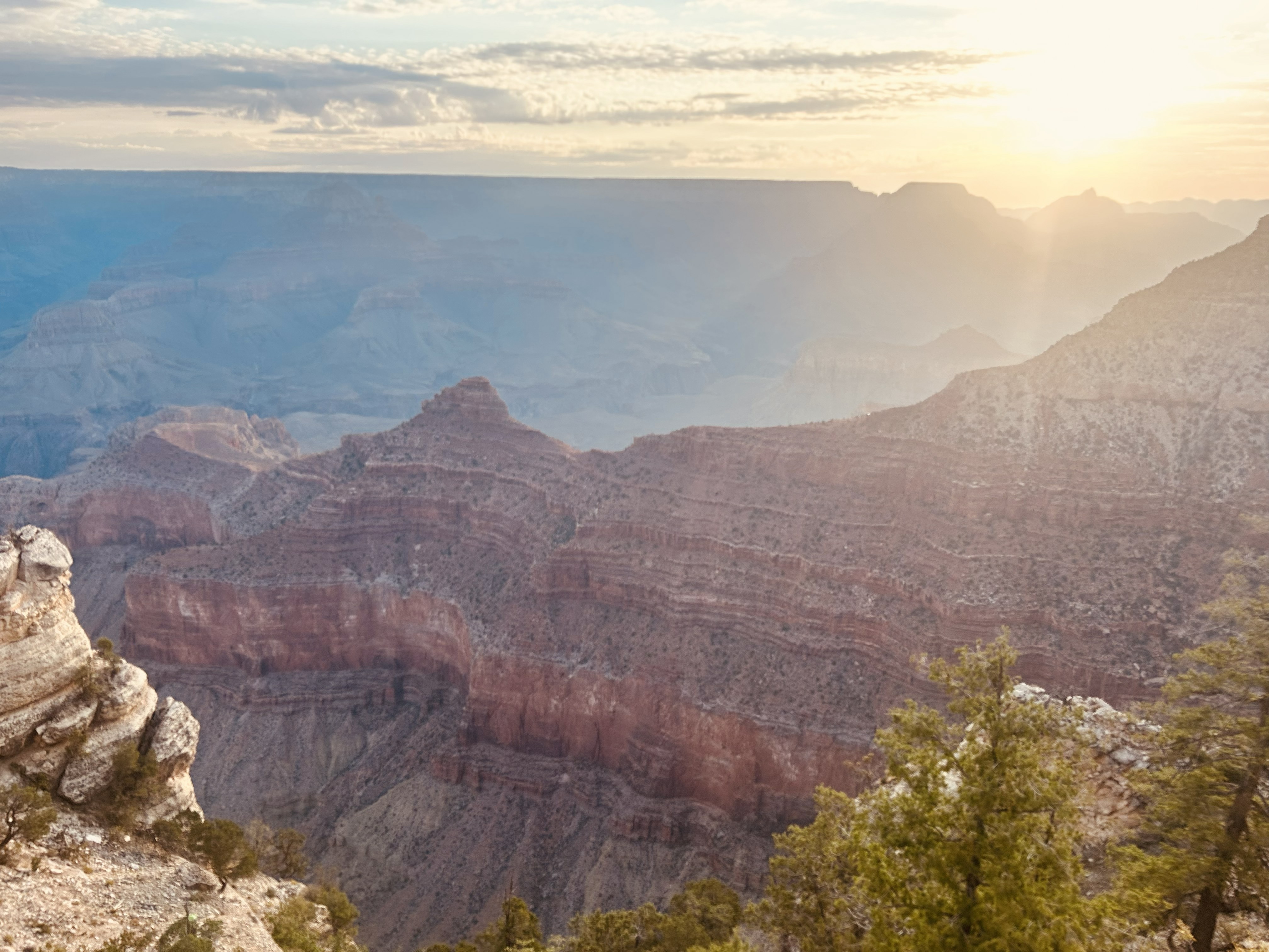
Entirely within the state of Arizona, the park encompasses 278 miles (447 km) of the Colorado River and adjacent uplands. Located on the ancestral homelands of 11 present day Tribal Communities, Grand Canyon is one of the most spectacular examples of erosion anywhere in the world—a mile deep canyon unmatched in the incomparable vistas it offers visitors from both north and south rims.

Arizona

National Monument

Grand Canyon-Parashant

Despite the hardships created by rugged isolation and the lack of natural waters, Parashant has a long human history spanning more than 11,000 years, and an equally rich geologic history spanning almost two billion years. Full of natural splendor and a sense of solitude, this area remains remote and unspoiled, qualities that are essential to the protection of its scientific and historic resources.

Arizona

National Historic Site

Hubbell Trading Post

Wóshde´e´, please come in where the squeaky wooden floors greet your entry into the oldest operating Trading Post on the Navajo Nation. As your eyes adjust to the dim light in the "bullpen", you'll find you've just entered a mercantile. Hubbell's in Ganado has been selling goods and trading Native American Art since 1878. Discover Hubbell Trading Post NHS, sheep, rugs, jewelry and so much more...

Arizona

National Historic Trail

Juan Bautista de Anza

The Juan Bautista de Anza National Historic Trail covers over 1200 miles through the homelands of 70+ Tribal communities. It follows the historic route of the 1775-76 Spanish colonizing expedition from Sonora, Mexico to San Francisco, CA. Whether urban or rural, the trail offers adventure, diverse cultural perspectives, and an opportunity to experience history.

Arizona · California

National Recreation Area

Lake Mead

Experience outdoor thrills, striking landscapes, and brilliant blue waters. This year-round recreation area spreads across 1.5 million acres of mountains, canyons, valleys and two vast reservoirs. Visitors come here for scenic drives, biking, hiking, boating, fishing, camping, and much more.

Arizona · Nevada

National Monument

Montezuma Castle

Established December 8, 1906, Montezuma Castle is the third National Monument dedicated to preserving Native American culture. This 20 room high-rise apartment, nestled into a towering limestone cliff, tells a story of ingenuity, survival and ultimately, prosperity in an unforgiving desert landscape.

Arizona

National Monument

Navajo

For centuries, the Hopi, San Juan Southern Paiute, Zuni, and Navajo people have lived in the canyons. Springs fed farmlands on the canyon floor and homes were built in the natural sandstone alcoves. The cliff dwellings of Betatakin, Keet Seel, and Inscription House were last physically occupied around 1300 AD but the villages have a spiritual presence that can still be felt today.

Arizona

National Historic Trail

Old Spanish

Follow the routes of mule pack trains across the Southwest on the Old Spanish National Historic Trail between Santa Fe, New Mexico, and Los Angeles, California. New Mexican traders moved locally produced merchandise across what are now six states to exchange for mules and horses.

Arizona · California · Colorado · Nevada · New Mexico · Utah

National Monument

Organ Pipe Cactus

Look closely. Look again. The sights and sounds of Organ Pipe Cactus National Monument, an International Biosphere Reserve, reveal a thriving community of plants and animals. Human stories echo throughout the Sonoran Desert, chronicling thousands of years of desert living. A wilderness hike, a scenic drive, or a night of camping will expose you to a living desert abounding with hidden life.

Arizona

National Park

Petrified Forest

A landscape where deep time lies fully on display, Petrified Forest National Park blends colorful badlands, vast grasslands, and one of the world’s largest and most vivid collections of petrified wood. Spanning more than 200 million years of geologic history, the park protects ancient fossils, ancestral Puebloan sites, habitat for desert animals, and a sweeping stretch of historic Route 66.

Arizona

National Monument

Pipe Spring

The rich history of Pipe Spring and its flowing water comes alive as you explore the traditions of the Kaibab Paiute and the Mormon settlers through the museum, historic fort, cabins, and garden. Hike the Ridge Trail to enjoy geologic wonders, plants, and wildlife. Attend living history demonstrations and talks and be sure to visit with our amazing ranch animals!

Arizona

National Park

Saguaro

Tucson, Arizona is home to the nation's largest cacti. The giant saguaro is the universal symbol of the American west. These majestic plants, found only in a small portion of the United States, are protected by Saguaro National Park, to the east and west of the modern city of Tucson. Here you have a chance to see these enormous cacti, silhouetted by the beauty of a magnificent desert sunset.

Arizona

National Monument

Sunset Crater Volcano

The lava flow lies on the land like a dream, a wonderland of rock. A thousand years ago the ground was torn open and lava erupted into the sky, forever changing the landscape and the lives of the people who lived here. A thousand years later, trees and flowers grow among the rocks, and people visit the lava flow to see and remember the most recent volcanic eruption in Arizona.

Arizona

National Monument

Tonto

Located within the northern range of the Sonoran Desert lie two cliff dwellings that were occupied from 1300-1450 CE (common era). They represent a vibrant culture consisting of local and immigrant groups that lived in the Tonto Basin. Together they formed a new ideology, which archeologists refer to as Salado. Today, descendants of the cliff dwellers continue to call Arizona home.

Arizona

National Historical Park

Tumacácori

Tumacácori sits at a cultural crossroads in the Santa Cruz River valley. Here O’odham, Yaqui, and Apache people met and mingled with European Jesuit and Franciscan missionaries, settlers, and soldiers, sometimes in conflict and sometimes in cooperation. Follow the timeworn paths and discover stories that connect us to enduring relationships, vibrant cultures, and traditions of long ago.

Arizona

National Monument

Tuzigoot

Water flows under and through this landscape, feeding the growth of people and towns. The Verde Valley is watered by snowmelt, summer monsoons, and springs that well up from the ancient sedimentary rocks. In the heart of the valley, a thousand years ago, people began to build a little hilltop pueblo that would grow into one of the largest villages in the area.

Arizona

National Monument

Walnut Canyon

Since time immemorial, Indigenous Peoples have lived and traveled throughout Walnut Canyon’s dynamic landscape. Vibrant communities built their homes in the cliffs and farmed along the canyon’s rim. Today the park preserves this landscape, and the ancestral homes in and around the canyon.

Arizona

National Monument

Wupatki

Nestled between the Painted Desert and ponderosa highlands of northern Arizona, Wupatki National Monument is an unlikely landscape for a thriving community. The early 1100's marked a time of cooler and wetter weather, when the ancestors of contemporary Pueblo communities created a bustling center of trade and culture. For indigenous peoples, these sites represent the footprints of their ancestors.

Arizona

Destination directory sourced from NPS state listings, October 3, 2026. Official NPS directory

Travel across all 50 states

AlabamaAlaskaArizonaArkansasCaliforniaColoradoConnecticutDelawareFloridaGeorgiaHawaiiIdahoIllinoisIndianaIowaKansasKentuckyLouisianaMaineMarylandMassachusettsMichiganMinnesotaMississippiMissouriMontanaNebraskaNevadaNew HampshireNew JerseyNew MexicoNew YorkNorth CarolinaNorth DakotaOhioOklahomaOregonPennsylvaniaRhode IslandSouth CarolinaSouth DakotaTennesseeTexasUtahVermontVirginiaWashingtonWest VirginiaWisconsinWyoming