Logging is occurring near the eastern end of the Sand Creek Segment from approximately 1.7 miles west of 30th Ave. to 0.8 miles west of 30th Ave. The Trail is adjacent to active logging and enters the logging area in several spots. Trucks may use the logging road, and conditions may be wet and rutted. Heavy machinery may be present. Remain on the Trail and keep dogs leashed.
A one‑mile section on the eastern side of the Averill‑Kelly Creek Segment is closed October 15–December 31 for private hunting. Follow posted reroute directions. The entire segment is also closed during the 9‑day gun deer season. For maps and additional details from the Ice Age Trail Alliance, follow the link below:
Bears have been seen approaching campsites in the Riverway in search of food. Store all food, garbage, and scented items in bear‑resistant containers, locked vehicles, or properly hung bags. Food should never be stored in tents. Stay alert and report safety concerns to 1‑800‑PARK‑TIP
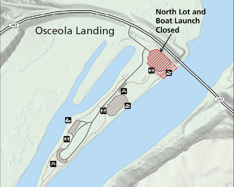
The northernmost parking lot and co-located boat ramps at Osceola Landing will close week of 9/14 as part of the Hwy 243 Osceola Bridge replacement project. The parking lot and boat ramps will be used as a staging area and river access point for construction equipment for the duration of the Hwy 243 bridge replacement project. During this time, the rest of Osceola Landing will be open for visitor use including alternative parking lots, restrooms, picnic shelters, trail, and other river access points.
A reroute is in effect between the Emmons Creek Fishery Area and Hartman Creek State Park due to forestry operations. Follow posted signage to remain on the designated reroute. For maps and additional details from the Ice Age Trail Alliance, follow the link below:
The trail between Presque Isle Bay and Quarry Bay on Stockton Island is open, but a footbridge on the western portion of the trail was washed out in a 2024 storm. Visitors must wade through shallow water or take an alternate route.
A reroute is in effect on the connecting route south of Algoma. The bridge over Three Mile Creek on Longfellow Rd is closed to all travel. Bypass this closure via 9th Rd and STH‑42; note that the 10th Rd bridge is also closed. This 2.7‑mile alternate route replaces 2.8 miles of connecting route. For maps and additional details from the Ice Age Trail Alliance, follow the link below:
A 0.1‑mile section of the Ice Age Trail between S Neenah Ave and W Yew St is closed indefinitely. Bypass this closure via S Neenah Ave and W Yew St. This 0.5‑mile alternate route replaces 0.5 miles of Ice Age Trail. For maps and additional details from the Ice Age Trail Alliance, follow the link below:
Flooding may occur between Mill Rd. and Nuclear Rd., especially in spring or after heavy rain. A bypass is available via CTH‑B between CTH‑BB and Nuclear Rd. For maps and additional details from the Ice Age Trail Alliance, follow the link below:
The Stewart Tunnel is closed indefinitely pending reconstruction. The Ice Age Trail is closed at both intersections of Tunnel Rd. Follow Tunnel Rd to bypass the closure and remain on the designated alternate route. For maps and additional details from the Ice Age Trail Alliance, follow the link below:
Devils Island dock and campsites and West Bay Club on Sand Island are closed. These closures affect only a small portion of the Lakeshore. Enjoy your visit.
Black bears inhabit many of the Apostle Islands. Follow safety guidelines: store food and scented items properly, hike in groups, stay attentive, and make noises if you encounter a bear in a visitor area.
ST. CROIX FALLS, Wis. — The northernmost parking lot and co-located boat ramps at Osceola Landing will close next week as part of the upcoming Hwy 243 Osceola Bridge replacement project.
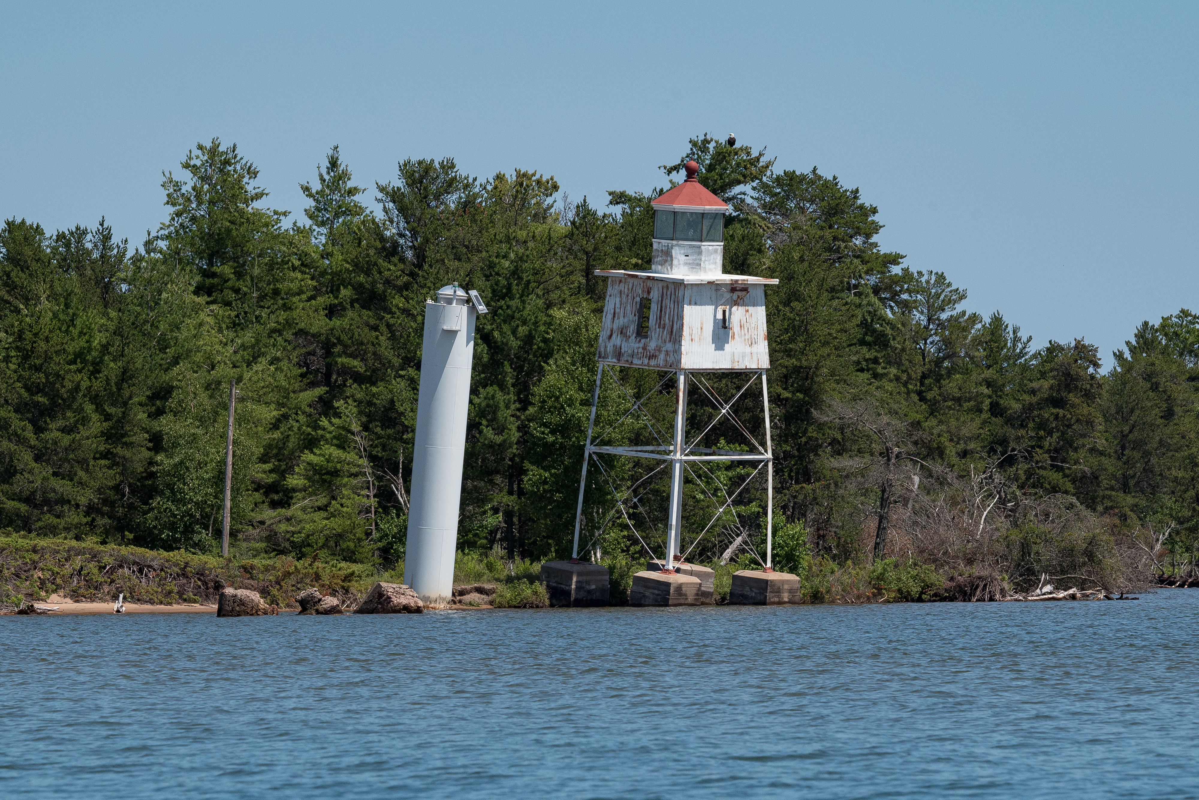
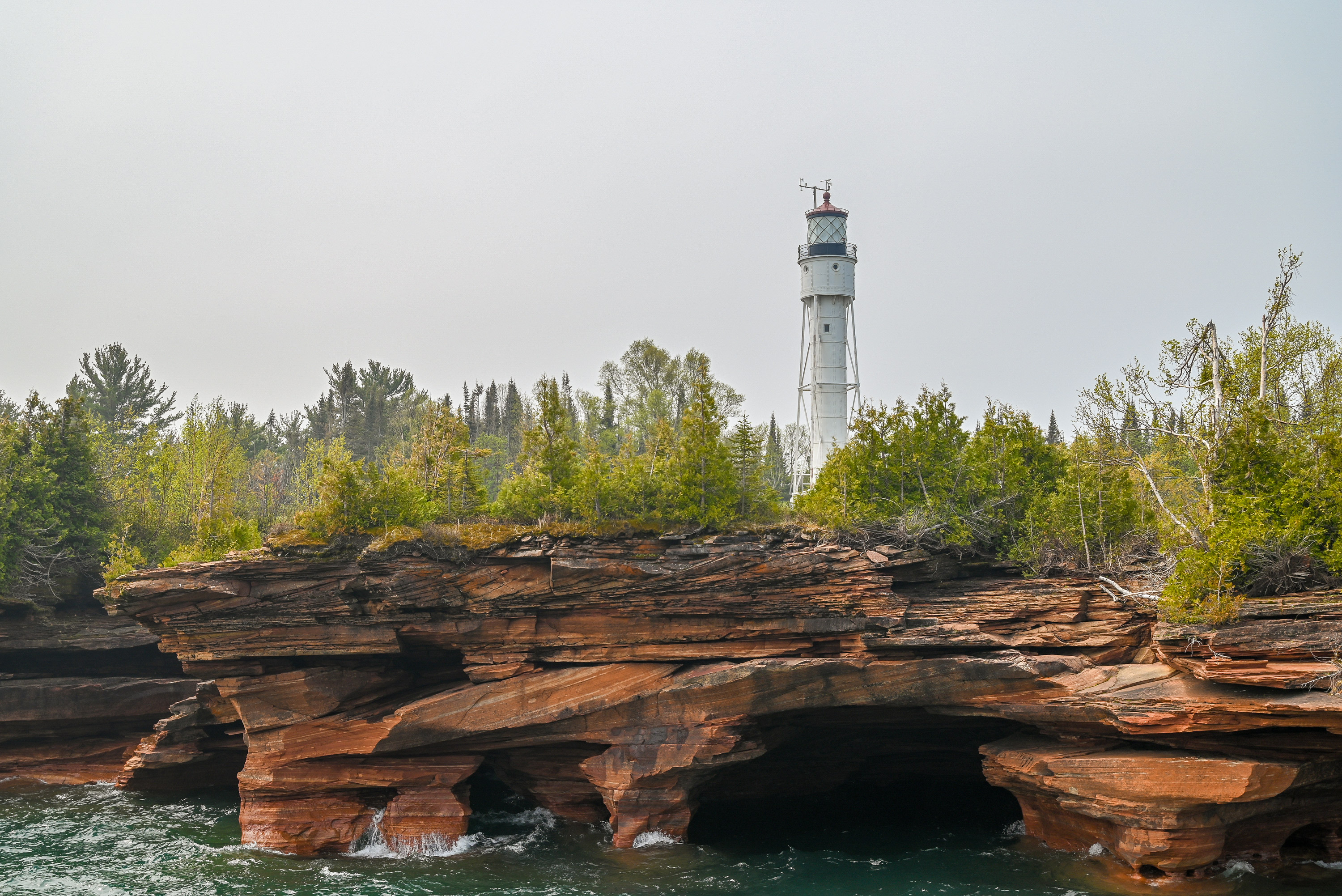
Apostle Islands National Lakeshore has awarded a contract for the deconstruction and removal of the historic Chequamegon Point Light Tower on Long Island due to structural failure.
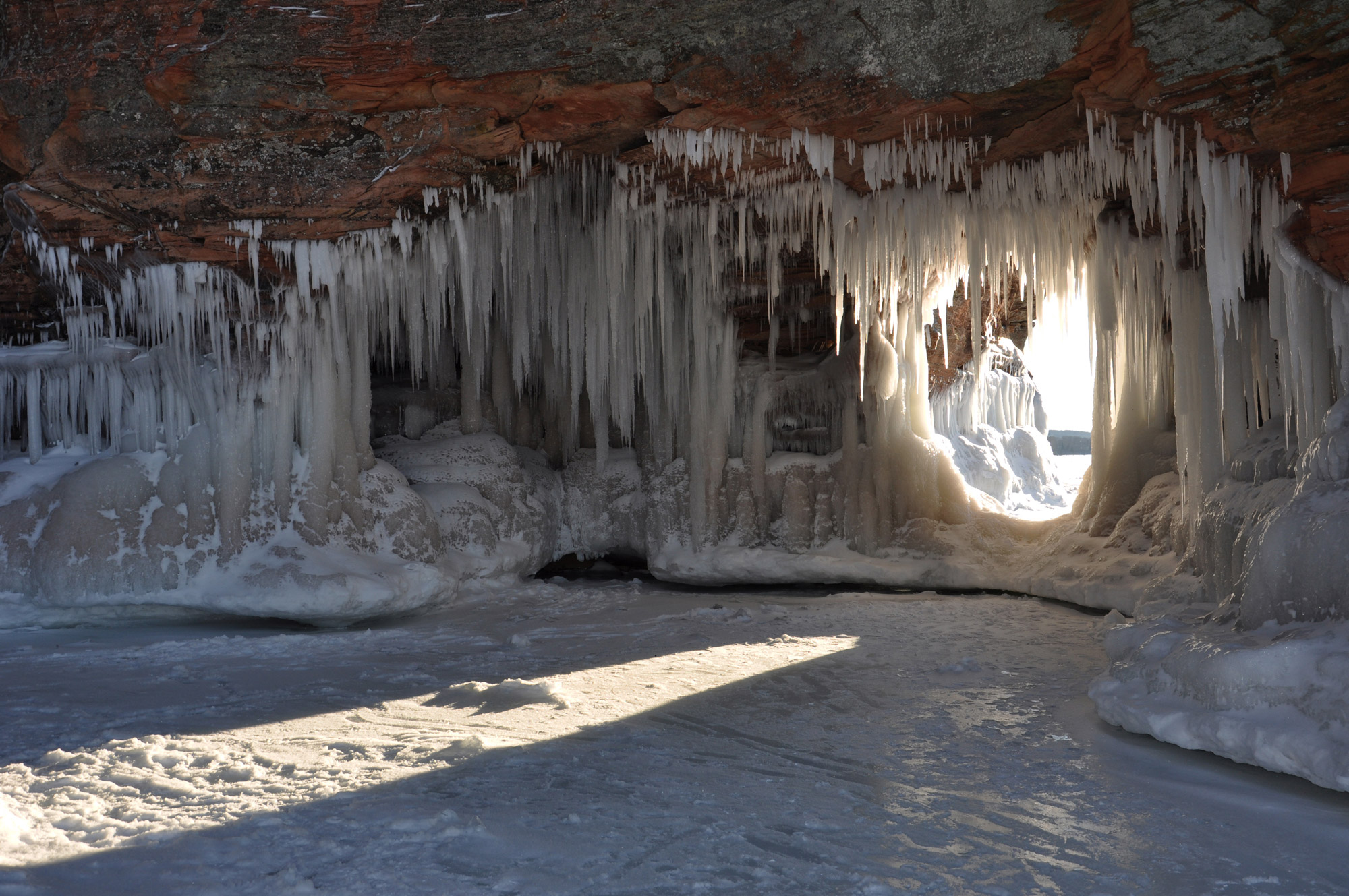
Apostle Islands National Lakeshore is expected to open the ice caves near Meyers Beach for visitation beginning on Feb. 16, 2026, if current ice conditions remain stable.
In celebration of the kick-off of activities related to National Public Lands Day, the Ice Age National Scenic Trail invites the public to take part in a Bio-Blitz on Saturday, Sept. 13, at the Glacial Passage Area of the Ice Age National Scenic Trail.
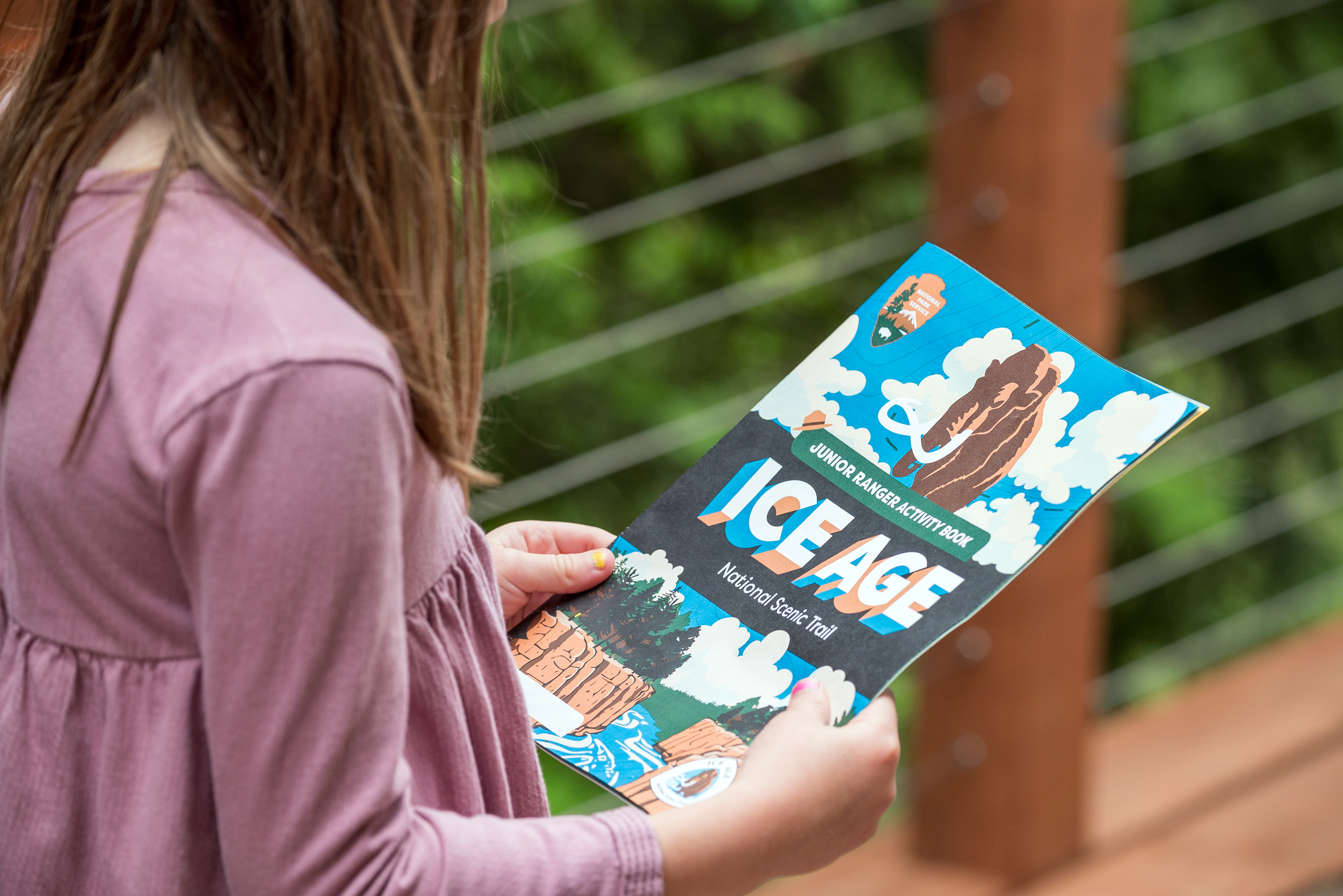
The Ice Age National Scenic Trail has introduced a new Junior Ranger activity book, available for free download on their website. This print-at-home booklet helps families explore the trail's unique history and geology through engaging activities.
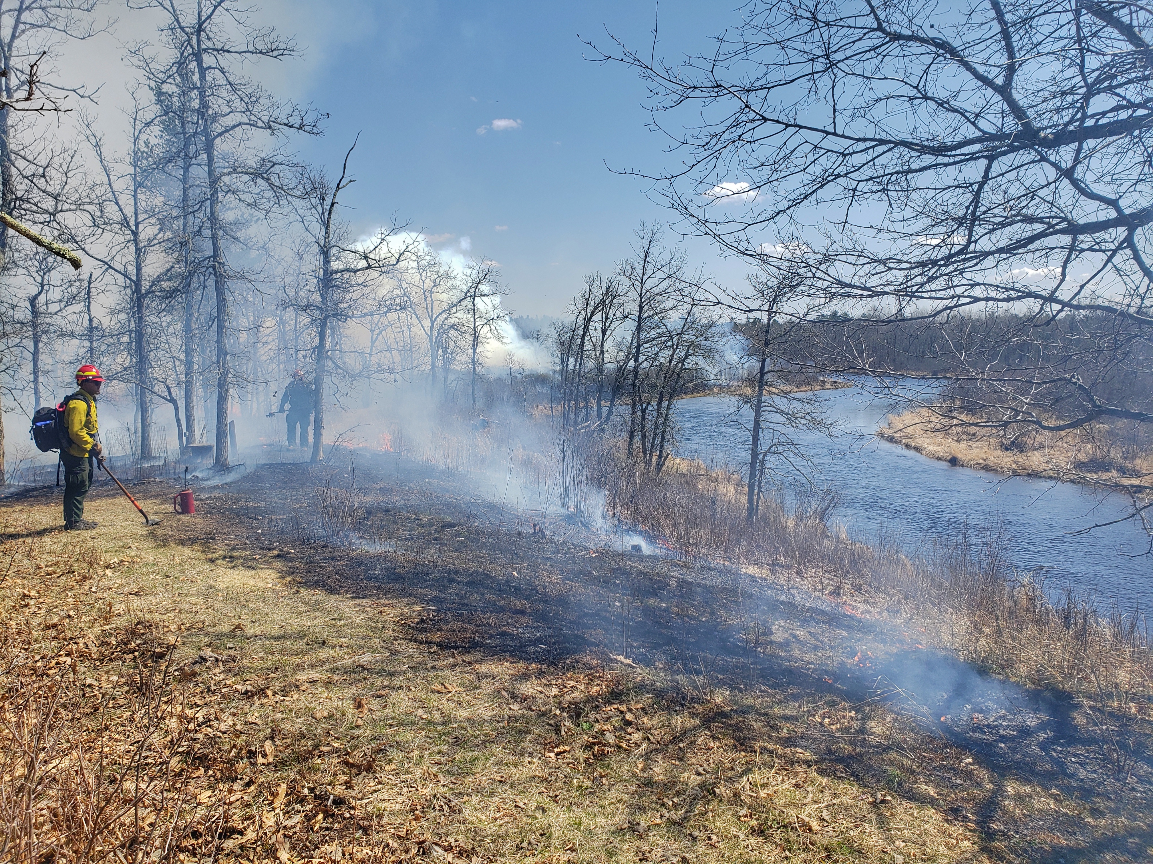
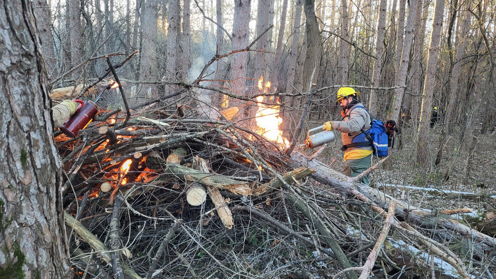
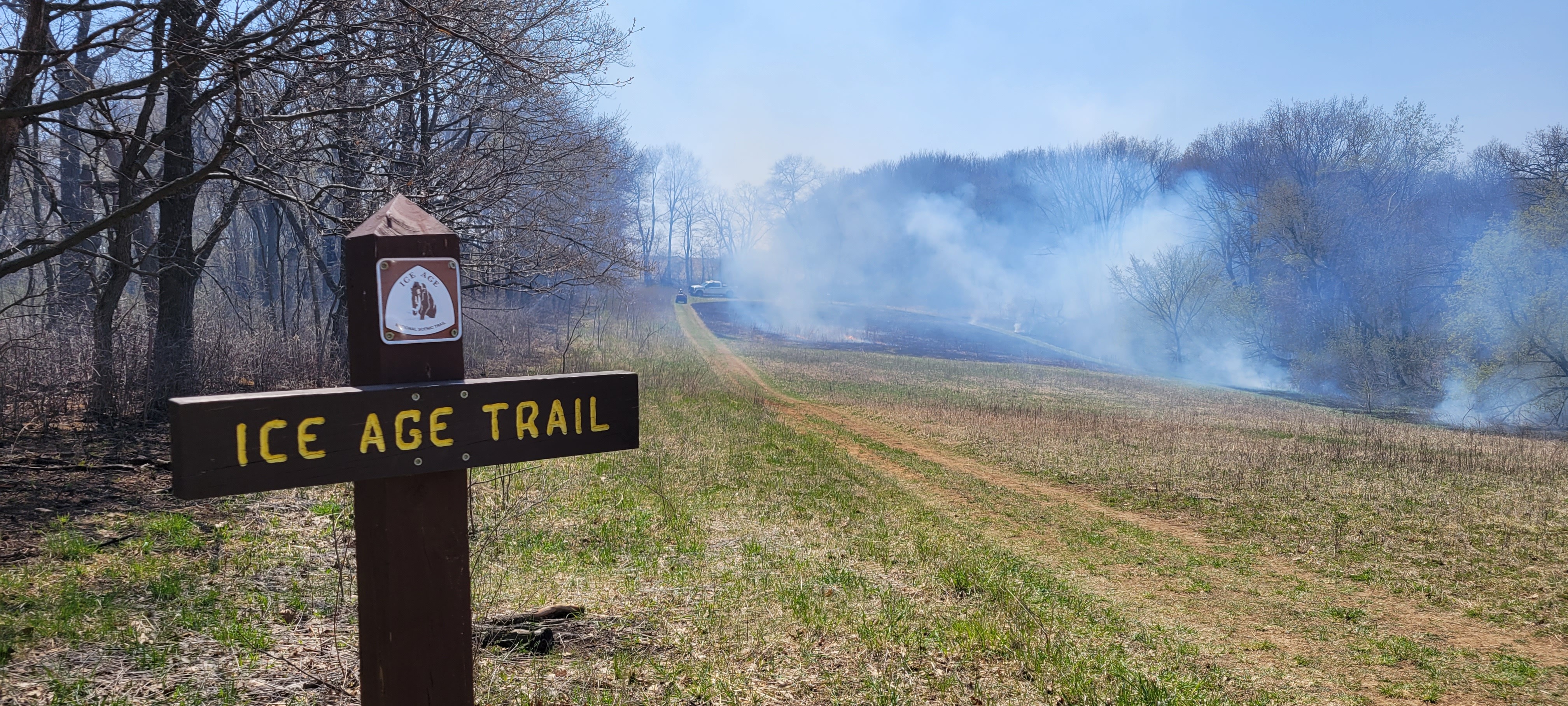
The National Park Service Ice Age National Scenic Trail is planning to conduct three prescribed fires, weather and conditions dependent, between April 6 – April 30, 2025, totaling approximately 93 acres near Cross Plains.
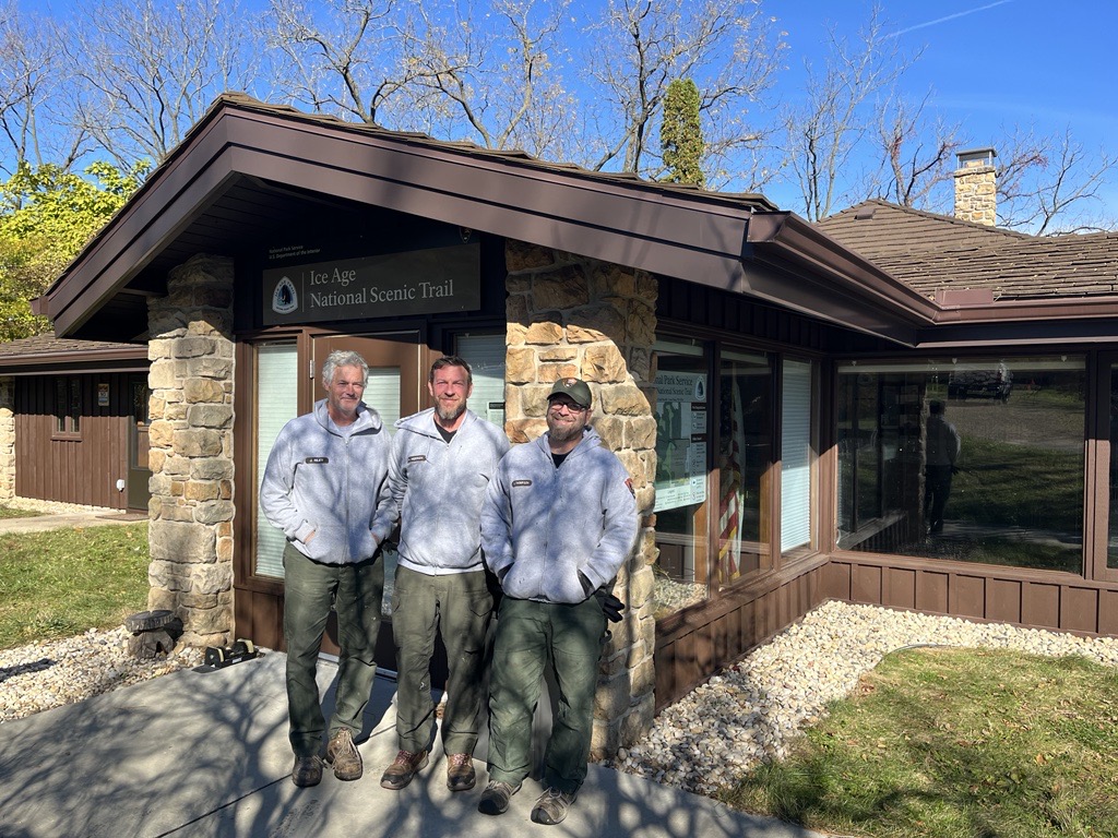
The Ice Age National Scenic Trail office and garage have been rehabilitated with funding from the Legacy Restoration Fund, focusing on stabilizing the historic structures. The Maintenance Action Team performed extensive repairs.
The National Park Service has concluded an Environmental Assessment finding the proposed site plan for the Fairy Falls Day Use Area at St. Croix National Scenic Riverway will cause no significant environmental impact to the area.
The National Park Service (NPS) is seeking public feedback on the creation of a comprehensive river management plan for St. Croix National Scenic Riverway.
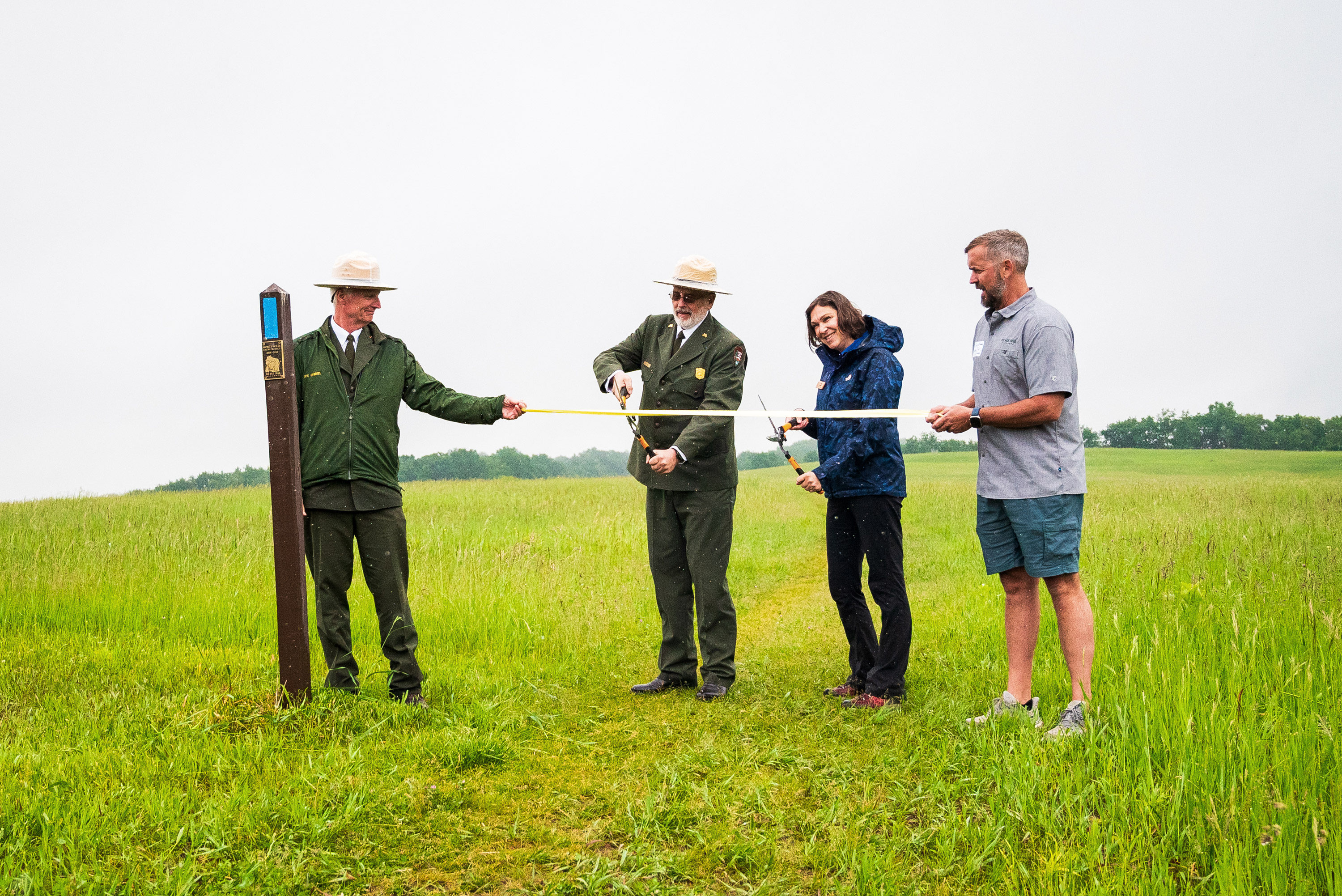
On June 1, 2024, partners of the Ice Age National Scenic Trail celebrated the unveiling of the newly named Glacial Passage Area in Cross Plains, Wisconsin, highlighting the collaborative efforts of federal, state, local agencies, nonprofits, and volunteers. The event featured speakers including Wisconsin Lt. Gov. Sarah Rodriguez and Eric Gabriel, superintendent of the Ice Age National Scenic Trail, who emphasized the area’s geological significance and the importance of stewardship in preserving Wisconsin’s natural and cultural heritage for this and future generations.
A new National Park Service report shows that 247,167 visitors to Apostle Islands in 2023 spent $44.4 million dollars in communities near the park. That spending supported 608 jobs in the local area and had a cumulative benefit to the local economy of $55.7 million dollars.
Come to the North Country. Trek the hills and valleys. Stand on the shores of lakes & streams from glaciers 10,000 years before. Clear-flowing water, red/gold of autumn, a fairyland of snow, open prairies, and distant horizons paint the land. Historic sites along the way tell how America settled and grew as a nation. From North Dakota to Vermont, adventure is never far away.
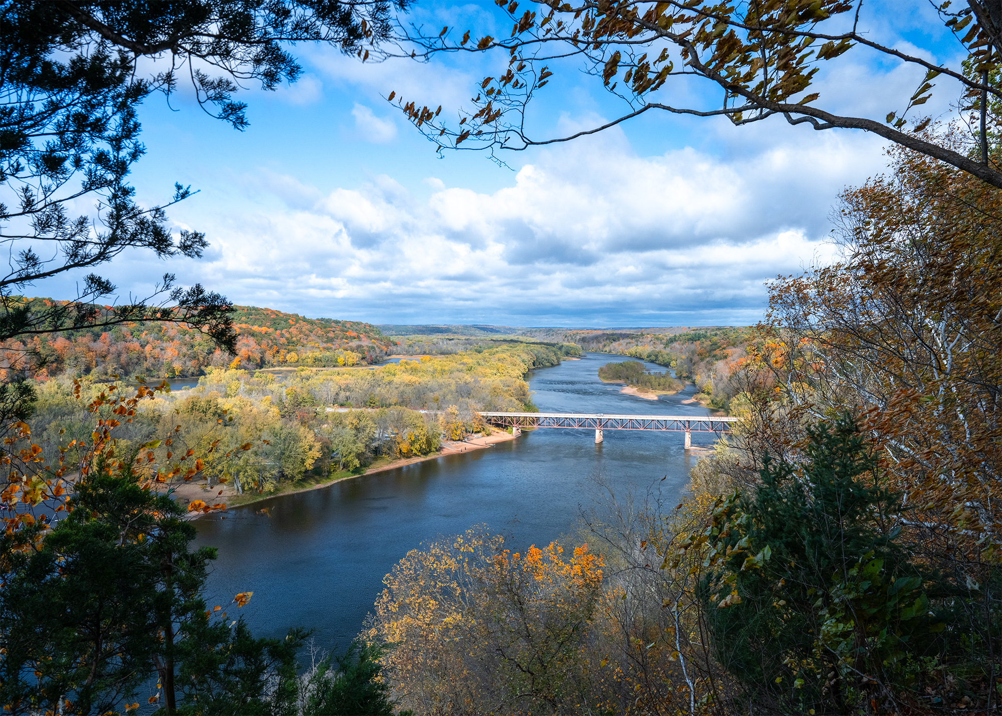
Grab your paddle and your longing for adventure and head to the St. Croix and Namekagon rivers! Together they form the St. Croix National Scenic Riverway, offering over 200 miles of clean water that glides and rushes through a forested landscape. Paddle, boat, fish, and camp among this wild and scenic beauty. Hiking and historic towns also beckon.
Apostle Islands National Lakeshore, located at the northern tip of Wisconsin's Bayfield Peninsula, features 21 stunning islands, a scenic 12-mile shoreline along Lake Superior, and is located within the ancestral homeland of the Ojibwe people. Established in 1970, the park showcases picturesque sea caves, sandy beaches, and the largest collection of lighthouses in the National Park system.
The Ice Age National Scenic Trail spans 1,200 miles, traverses some of Wisconsin's finest geologic and glacial features, and passes through the ancestral lands of 15 Tribes. The Trail is built, managed and maintained by dedicated volunteers, Ice Age Trail Alliance, Wisconsin Department of Natural Resources, local partners, and the National Park Service.