
STATE & NATION TRAVEL · news
Chiricahua becomes the nation’s 64th national park without changing visitor fees or boundaries
By Staff Writer · Published October 24, 2026
The October 20 law changes the southeastern Arizona site’s name, not its approximately 12,000-acre footprint or current operations. Travelers should still plan for a remote, vehicle-dependent visit.
Official announcement: National Park Service · October 20, 2026
Source: NPS redesignation announcement and supplied image
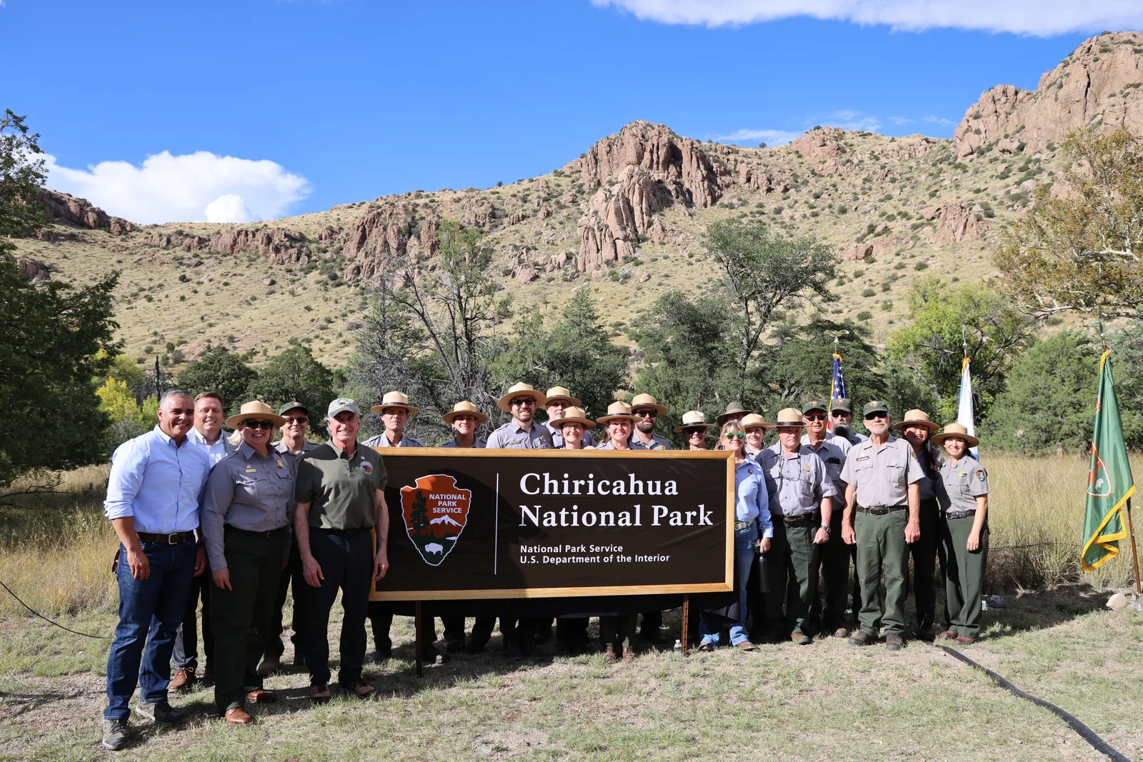
Chiricahua National Monument became Chiricahua National Park on October 20, when the president signed the Chiricahua National Park Act. The law, recorded as Public Law 119-133, makes the southeastern Arizona site the 64th national park. It does not enlarge the park or change the roughly 12,000 acres already administered by the National Park Service.
For travelers, the immediate change is chiefly a new name. NPS says existing protections, facilities, programs and visitor services continue, while signs, maps and online material will be updated in phases. Congress did not attach new construction or dedicated funding to the redesignation, so the title should not be read as an announcement of a new visitor center, road or campground.
The park’s current experience remains centered on an eight-mile scenic drive, 17 miles of day-use trails and the rock formations of Bonita Canyon. NPS describes the landscape as a sky island whose steep elevation changes support habitats ranging from desert to pine-oak woodland. The law recognizes that established setting rather than creating a new destination on a different footprint.
Some official pages and older signs may continue to use the monument name during the transition. Travelers should match current NPS directions, alerts and reservations to the same Chiricahua site rather than assuming the old wording refers to a separate unit.
What Travelers Need to Know
Use the park’s single public entrance from Arizona Highway 186 and 181. NPS says public transportation is not available, cellular service is limited, and gas and groceries are 30 to 40 miles away. Download directions or an offline map before leaving reliable service and arrive with enough fuel, water and food.
Large vehicles need special planning. Vehicles longer than 24 feet are not allowed beyond the campground, and NPS lists a 29-foot maximum length for campground sites. Trailers longer than 24 feet should be left at the visitor center or campground rather than driven up the narrow scenic road.
There is no park entrance or parking fee. Camping is a separate charge, and Bonita Canyon Campground is reservation-only. Check Recreation.gov for availability instead of assuming the national-park designation has created new sites or same-day capacity.
Review current alerts, weather and road conditions immediately before the drive. The phased name change may leave older materials in circulation, but closure signs and current NPS instructions control access.
About the Location
Chiricahua National Park lies in southeastern Arizona, east of Willcox and close to the New Mexico border. Its columns, pinnacles and balanced rocks formed from volcanic deposits laid down by the Turkey Creek eruption about 27 million years ago and later shaped by erosion. Those formations, the elevation-driven mix of ecosystems and the long views from the scenic road explain why a national-park designation matters even though the boundary is unchanged.
The area is the homeland of the Chiricahua Apache and also preserves later chapters connected with military campaigns, Buffalo Soldiers, ranching and Faraway Ranch. The federal government established Chiricahua National Monument in 1924; the 2026 law changes the unit’s designation while leaving that layered cultural and natural history in place.