
STATE & NATION TRAVEL · news
Gulf Islands lifts its remaining Isaias storm closure
By Staff Writer · Published October 26, 2026
Naval Live Oaks reopened October 26, completing the seashore's storm-access return across Florida and Mississippi while unrelated facility restrictions remain in effect.
Official announcement: National Park Service · October 26, 2026
Source: NPS October 26 all-areas reopening release
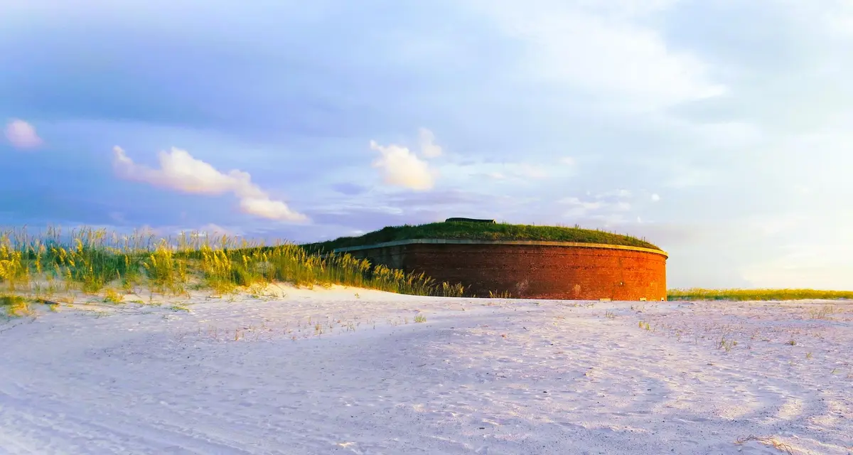
Gulf Islands National Seashore reopened Naval Live Oaks on October 26, lifting the last area closure the park attributed to Hurricane Isaias. The National Park Service says the Florida and Mississippi districts are open after a phased return that began earlier in the month.
The announcement specifically lists Okaloosa, Opal Beach, Perdido Key at Johnson Beach, Fort Pickens and Fort Barrancas among the open Florida areas. NPS Superintendent Rick Clark said the storm caused no substantial damage to park buildings or infrastructure in either district, although visitors may still encounter debris or trail hazards.
The reopening ends the hurricane-wide access restriction, not every maintenance or safety closure inside the 160-mile seashore. The park's current conditions page continues to close the Battery 234 Loop Road, Battery Cooper and nearby beach access in Fort Pickens because of an unstable historic observation tower. The Fort Pickens visitor center is also closed for renovation, while the historic fort remains open.
That distinction matters because Gulf Islands is a network of beaches, bayous, historic sites, mainland facilities and offshore islands rather than a single entrance gate. An open park district does not guarantee that every road, pier, restroom, campground, ferry or concession is operating on the travel date.
What Travelers Need to Know
Use the October 26 release as confirmation that the Hurricane Isaias area closures have ended, but check the official conditions page and the page for the exact destination before departure. Do not enter the signed Battery 234 or Battery Cooper closure in Fort Pickens.
Confirm hours and transportation separately for offshore destinations. Ship Island buildings and Fort Massachusetts follow seasonal schedules, and ferry or concession service can differ from NPS area access. An open island does not by itself confirm a boat departure.
Florida entrance fees apply at Fort Pickens, Opal Beach, Okaloosa and Perdido Key. Verify the current fee or accepted pass before arrival, and check a campground reservation directly rather than assuming that the all-areas announcement guarantees a particular campsite or facility.
Continue to use caution on trails, stay outside signed closures and review weather and marine conditions. Barrier-island roads, beaches and boat access can change after storms, and the park's live notice takes precedence over an older itinerary.
About the Location
Congress established Gulf Islands National Seashore in 1971. Its 12 visitor areas extend about 160 miles along the northern Gulf coast from Cat Island in Mississippi to the Okaloosa area east of Fort Walton Beach, Florida, protecting barrier islands, white-sand beaches, coastal marshes, maritime forests, bayous and marine habitat.
The seashore also preserves layers of Gulf Coast military and community history. Fort Pickens was built to defend Pensacola Bay and later remained in Union hands during the Civil War, while Fort Massachusetts stands on Ship Island off Mississippi. Davis Bayou near Ocean Springs provides a mainland Mississippi visitor center, campground, boat launch and trails, connecting a multi-state trip to both natural and historic sites.