
NATIONAL PARK SERVICE · news
National Park Service Issues Mile Creek Road Realignment and Bridge Construction Environmental Assessment
February 2, 2023 · Source: National Park Service
Official NPS notice
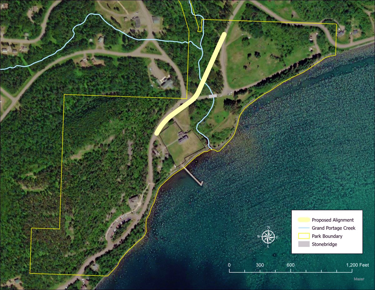
Cook County, Minnesota and the Grand Portage Band of Lake Superior Chippewa (Ojibwe), in partnership with the Grand Portage National Monument, propose to realign a segment of Mile Creek Road/County State Aid Highway 17 and construct a new bridge across Grand Portage Creek. The purpose of this EA is to evaluate the potential impacts of constructing a new bridge across Grand Portage Creek to reduce the hazard caused by a blind curve, eliminate traffic and plowing impacts on an existing historic bridge, and increase pedestrian access.
Read the official release from National Park ServiceWhat Travelers Need to Know
Check the affected roads, trails or facilities and the dates in the official notice. Plan an alternate route or activity if your itinerary uses the affected area.
Dates and operating conditions can change after publication. Check the destination’s official visitor information for your travel date.
Traveler guidance by State & Nation Staff Writer.