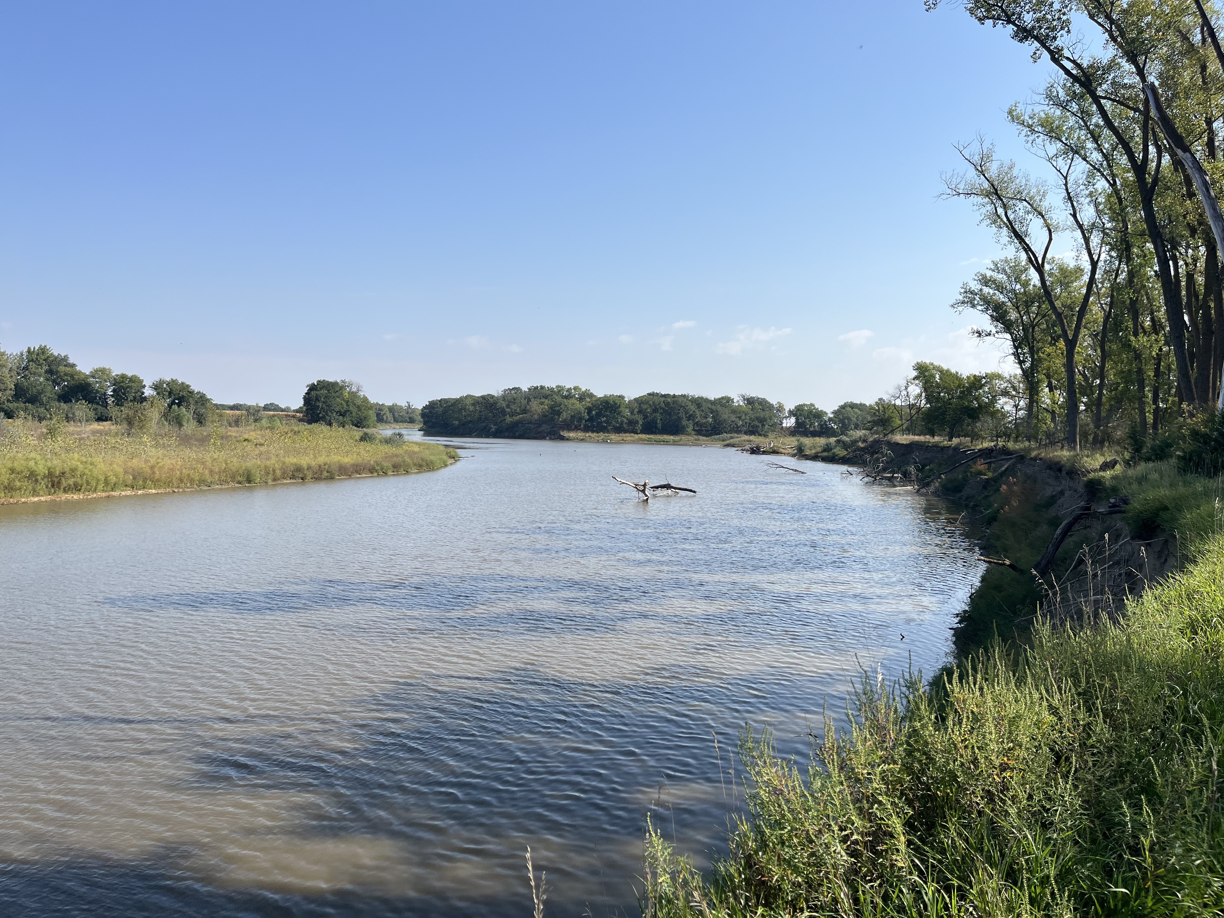
River channel cuts through the middle of two pieces of land that have green grass and tall trees. The right side portion of land has a small river bluff. The sky is blue with only a few clouds way off in the distance. · NPS Photo/ H. Freund · Official image source · No claim to original U.S. Government works.
The National Park Service has acquired approximately 676 acres of James River Island within the 59-Mile District of the Missouri National Recreational River.
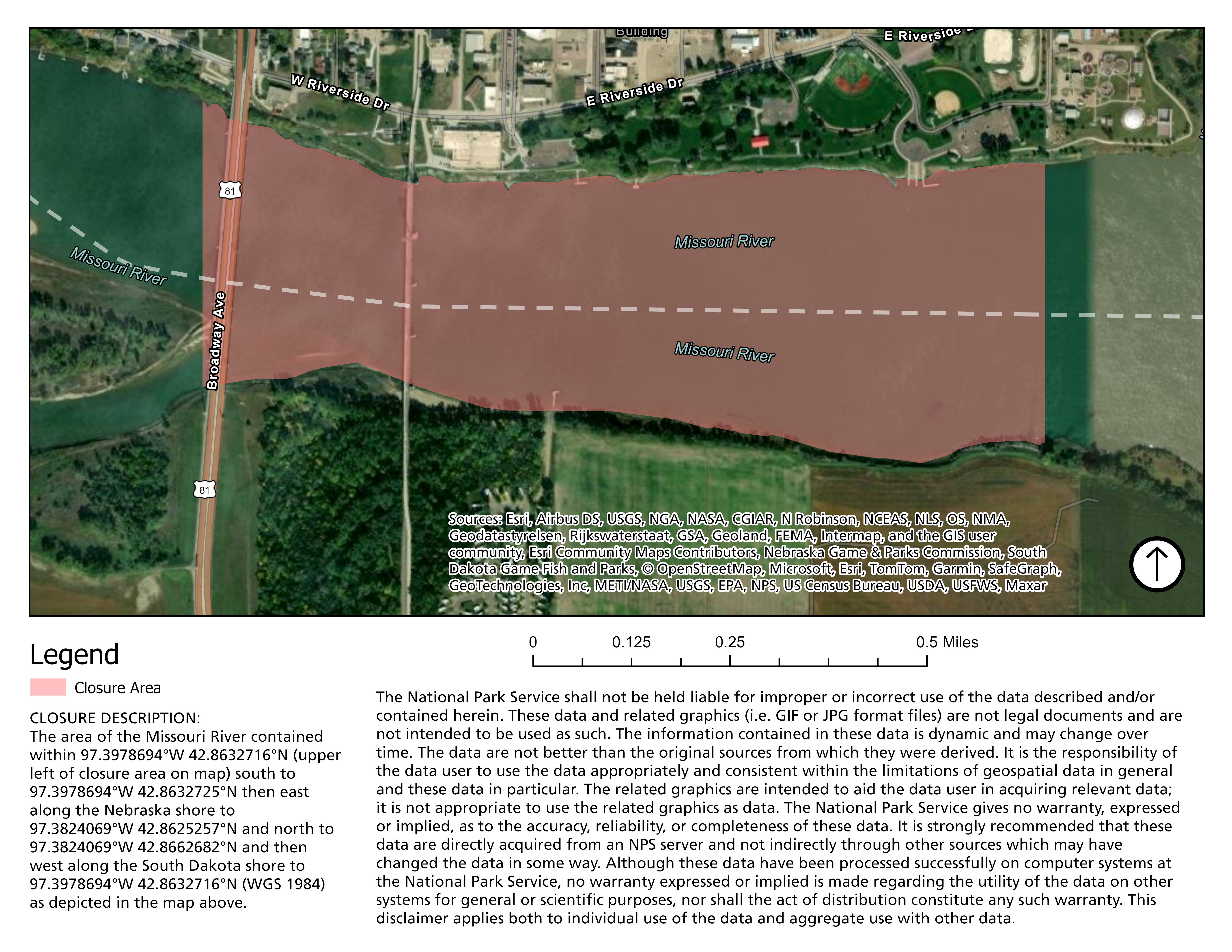
A map of the Missouri River showing the closure area in red. · NPS Photo/ H. Freund · Official image source · No claim to original U.S. Government works.
To better protect the well-being, safety, and public health of those in attendance of the Riverboat Days pyrotechnics fireworks display, there will be a temporary closure in effect.
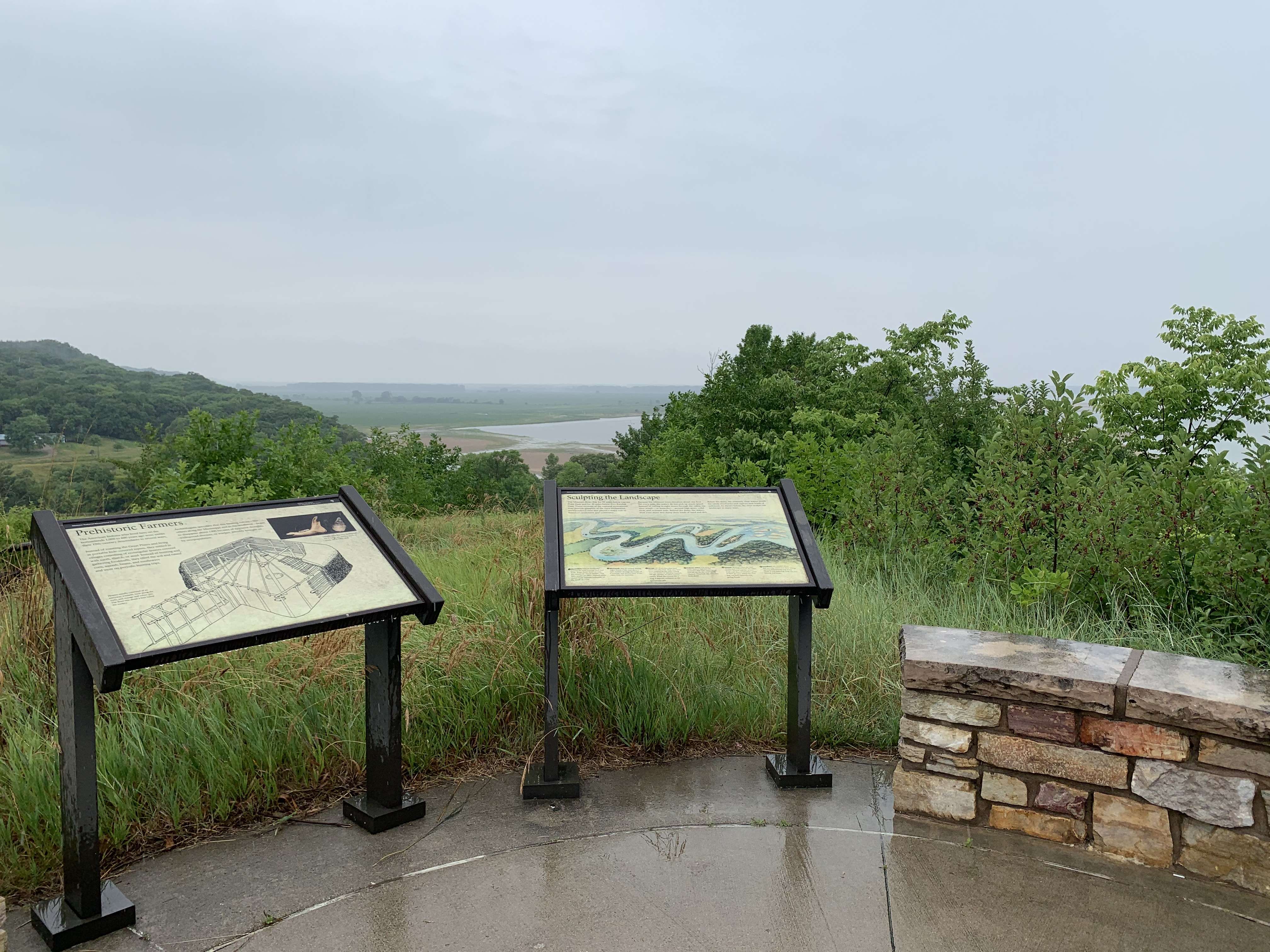
The public is invited to join the Missouri National Recreational River and the Friends of the Missouri National Recreational River to celebrate the reopening of the Mulberry Bend Overlook. The overlook has been closed since August 2021 to address and correct trail accessibility issues.
Two waysides and a stone wall overlooking the Missouri River. There are green trees and sandbars in the river. · NPS Photo · Official image source · No claim to original U.S. Government works.
Mulberry Bend Overlook will be closed temporarily while the park addresses accessibility issues at the overlook. The trail is being redesigned and reconstructed.
The National Park Service and South Dakota Game, Fish, and Parks are having a litter issue at one of the most pristine and beautiful access points on the river.
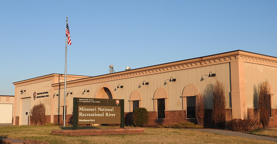
A large sign stands before a tan, one-story building. The sign reads Missouri National Recreational River. A silver flag pole located at the front entrance to the building with an American flag is behind the sign. · NPS · Official image source · No claim to original U.S. Government works.
As of April 8, 2020, Park Headquarters and its Visitor Contact Station at Missouri National Recreational River are closed until further notice due to COVID-19.
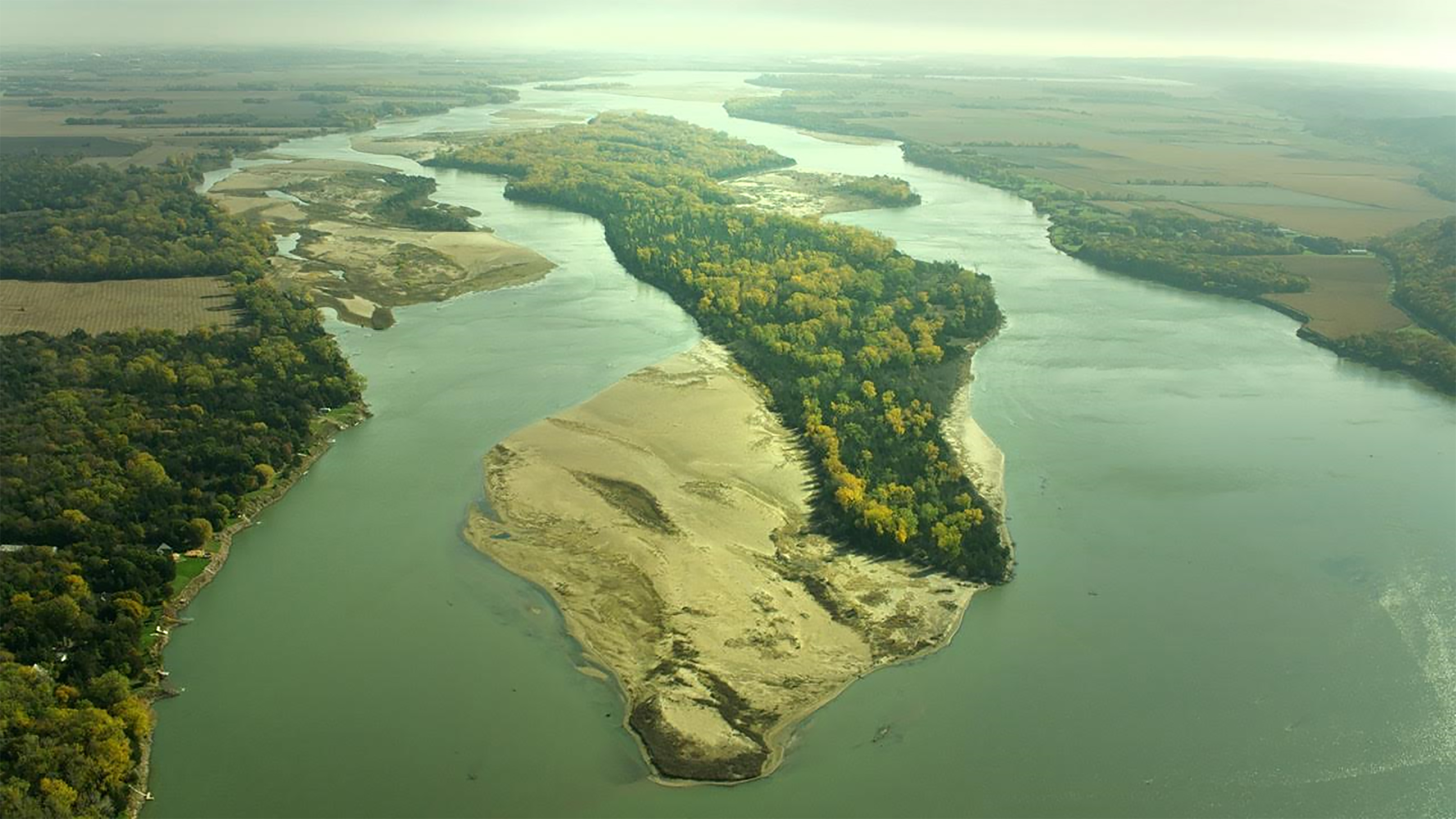
Aerial view over the Missouri River and Goat Island in early autumn. · NPS · Official image source · No claim to original U.S. Government works.
On August 16, 2019, the National Park Service (NPS) Acting Regional Director, Patricia Trap signed the decision record Finding of No Significant Impact (FONSI) for the Goat Island Management Plan and Environmental Assessment. The approved FONSI allows the NPS to implement the management plan, as described in the selected action.
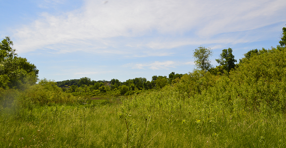
Image is of green vegetation of shrubs and grasses located in Bow Creek Recreation Area. · NPS · Official image source · No claim to original U.S. Government works.
The National Park Service is proposing to restore a backwater channel at the Missouri National Recreational River Bow Creek Recreation Area (located near Wynot, Nebraska). The National Park Service has prepared an Environmental Assessment for this project which is available for review through a website provided in the News Release.
Image with the words River of Change over an aerial picture of the Missouri River and boats. · NPS Photo · Official image source · No claim to original U.S. Government works.
River of Change – a new film of the Missouri National Recreational River features the park in all seasons with amazing aerial and scenic views of the river, up-close wildlife photography, and interviews of people that call the river their home and place to recreate.
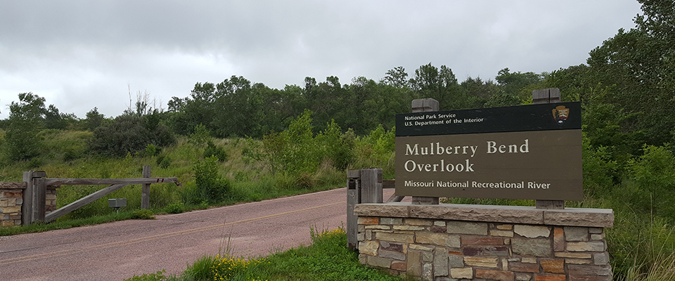
Entrance gate to Mulberry Bend Overlook and trails. · NPS Photo · Official image source · No claim to original U.S. Government works.
The Missouri National Recreational River is proud to announce a new partnership with the Living River group of the South Dakota Sierra Club. The group has adopted Mulberry Bend Overlook and Trails, a part of the Missouri National Recreational River.