
NATIONAL PARK SERVICE · news
Terrain360 and the National Park Service-Lewis and Clark National Historic Trail Embark on a Historic Mapping Expedition of the Yellowstone River
July 8, 2024 · Source: National Park Service
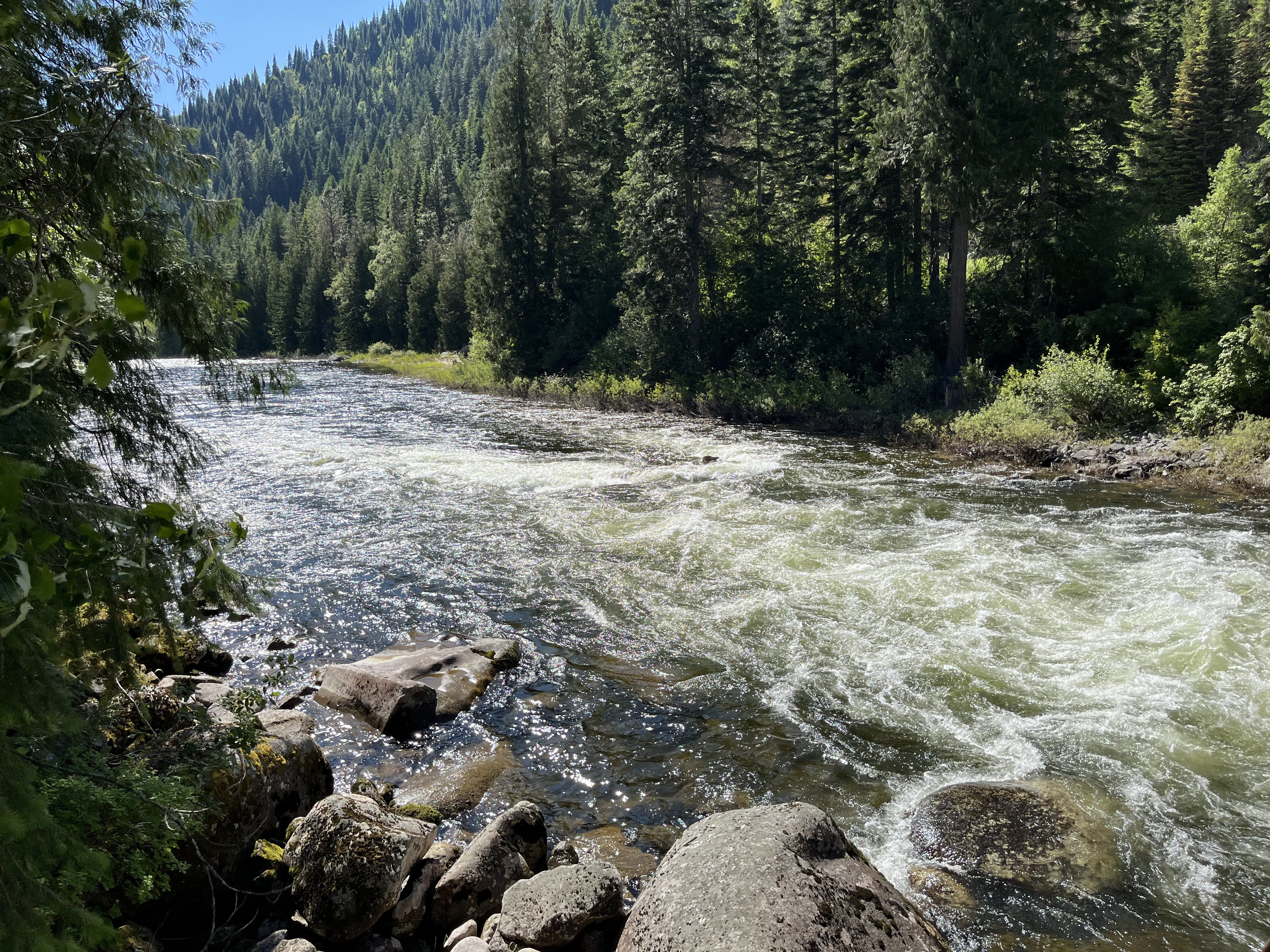
In a groundbreaking collaboration, Terrain360, the National Park Service’s (NPS) Lewis and Clark National Historic Trail, and the Lewis and Clark Trust, Inc. is proud to announce a project that aims to map a portion of the Yellowstone River. The mapping will use state-of-the art 360° ultra-high-definition spherical imagery to capture 507 miles of river starting just south of Livingston, Montana to the confluence of the Missouri-Yellowstone Rivers. This monumental endeavor will generate over 1 million ultra-high-resolution images, providing an unparalleled view of this historically significant river.
Read the official NPS sourceWhat Travelers Need to Know
Use the official notice to confirm the affected destination, dates and visitor arrangements before finalizing your trip.
Dates and operating conditions can change after publication. Check the park’s official visitor information for your travel date.
Traveler guidance by State & Nation Staff Writer.