
STATE & NATION TRAVEL · alerts
Congaree flood alert narrows hiking choices, but elevated boardwalk and three trails remain open
By Staff Writer · Published October 14, 2026
The October 14 warning identifies flooded backcountry routes and low boardwalk sections. Check the park's open-route guidance before a South Carolina visit.
Official announcement: National Park Service · October 12, 2026
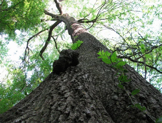
Congaree visitors have fewer hiking options under the National Park Service's October 14 flood warning, but the notice does not close the entire park. NPS reports that the Congaree River and Cedar Creek remain above flood stage, leaving several trails and parts of the low boardwalk underwater and inaccessible to hikers.
The affected routes include Bates Ferry, Boggy Gut, Fork Swamp, Kingsnake, Oakridge, Sims and Weston Lake trails. In contrast, the alert identifies all elevated boardwalk sections and the Bluff, Firefly and Longleaf trails as open. That distinction matters for travelers who can adjust a short visit rather than assume either that every trail is available or that all walking opportunities are lost.
What Travelers Need to Know
Use the October 14 alert's route list when planning, then recheck the official conditions page before departure and at arrival. No reopening date is supplied; do not infer one from the notice's original October 12 source date.
Do not try to complete a flooded route by walking through water or treating the elevated boardwalk's open status as permission to use submerged low sections. Choose an explicitly open route and follow on-site instructions.
The park links river and creek gauges on its conditions page, but a gauge reading is not a trail-access determination. Ask the visitor center at 803-776-4396 about your intended route. NPS also warns that cell reception in the backcountry can be unreliable.
About the Location
Congaree's visitor address is in Hopkins, South Carolina. The park preserves an old-growth bottomland hardwood forest shaped by regular flooding, alongside higher pine forests. Water from the Congaree and Wateree rivers brings sediment and nutrients into the floodplain, supporting wetland habitats and trees such as bald cypress and tupelo.
Flooding is therefore part of this forest's ecology, not simply a disruption to a normally dry landscape. For visitors, however, the same water can interrupt the boardwalk and backcountry trail network. The park's landscape explains why the distinction between elevated and low walking surfaces is important in this alert.