
STATE & NATION TRAVEL · alerts
Little River Canyon closes three backcountry roads and sets separate October visitor-area closures
By Staff Writer · Published October 15, 2026
Road maintenance has no announced reopening date. Later in October, Canyon Mouth Park and the Little River Falls overlook parking lot have different closure schedules.
Official announcement: National Park Service · October 13, 2026
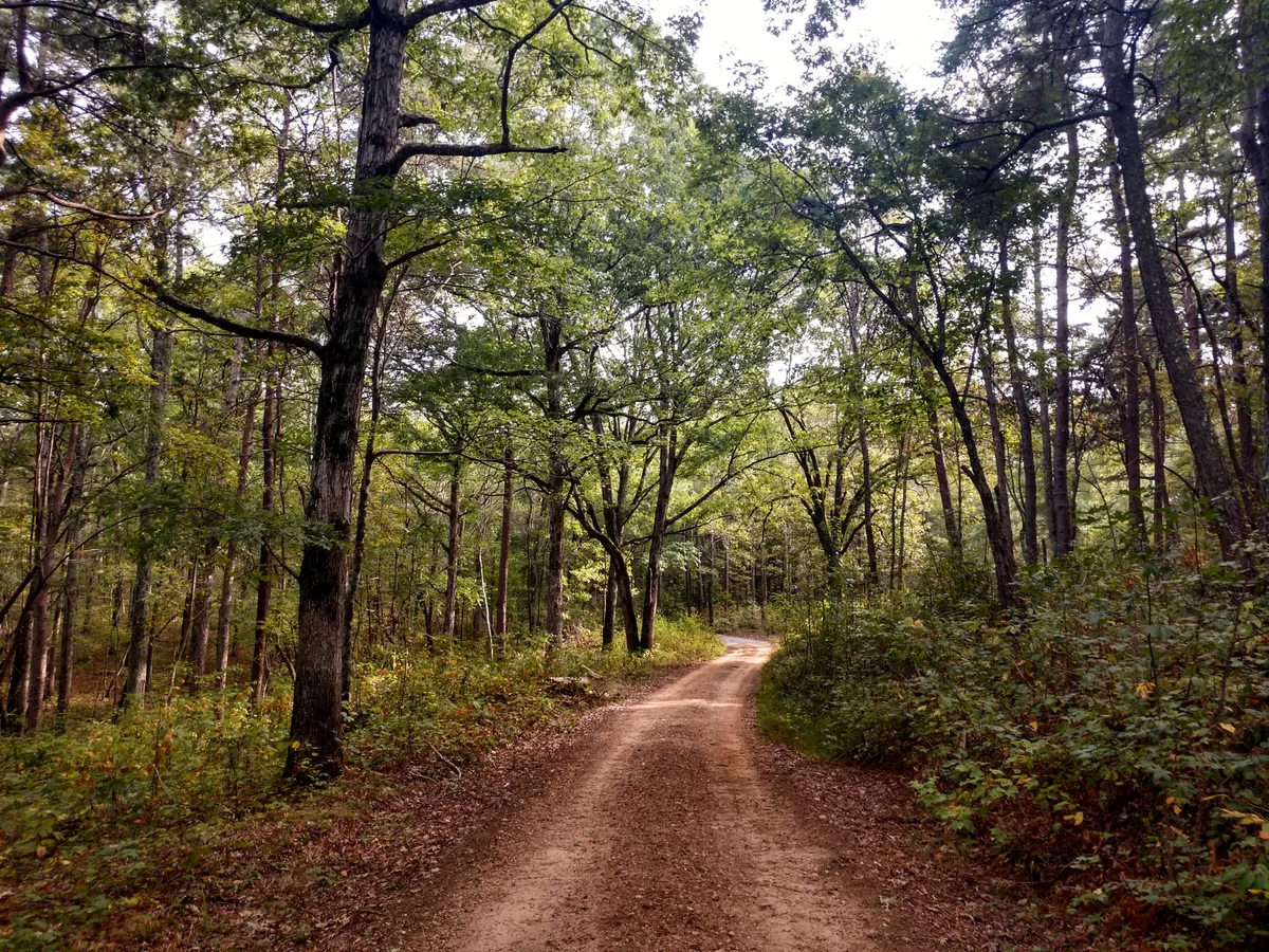
Drivers planning to explore the wooded interior of Little River Canyon National Preserve in northeastern Alabama must leave Roads 8, 9 and 10 out of their route. An October 14, 2026, National Park Service alert closes those numbered roads in the Wildlife Management Area for maintenance and instructs visitors not to bypass barriers. It does not set a reopening date.
Two other current notices affect separate stops later this month. Canyon Mouth Park will be unavailable October 20–21. Although that alert's heading refers to its parking lot, the full notice says the park will close to the public. Visitors should not interpret it as permission to walk into the day-use area after parking elsewhere.
At Little River Falls, the restriction is specifically on the overlook parking lot for October 22–23. NPS directs visitors to park at the Canyon Center and use the Bridge Trail for access to the overlook and Little Falls Trail. That is an official walking alternative, not an announcement that the usual parking area will remain open.
These notices do not announce a preserve-wide closure. They require different itinerary changes: removing maintenance roads from a backcountry drive, skipping Canyon Mouth Park on its closure dates, and allowing for a different approach to the falls.
What Travelers Need to Know
Avoid Roads 8, 9 and 10 until NPS removes the closure. On other backcountry routes, check whether your vehicle is suitable: many require four-wheel drive. The preserve does not allow ATVs, UTVs or non-street-legal dirt bikes on its roads.
For October 22–23 falls visits, plan around the Canyon Center parking alternative. NPS lists the Bridge Trail at 0.75 mile. Do not assume that this substitutes for the normal accessible parking-to-boardwalk approach: the park's accessibility guidance warns that its natural hiking trails are not ADA accessible. Call 256-845-9605 to discuss a route that meets your needs before making the trip.
Recheck the official conditions page before departure. The alerts give no maintenance completion date, and the scheduled visitor-area closures should not be treated as guaranteed reopening times. Stay on designated routes and do not cross barriers to shorten a detour.
About the Location
The preserve lies near Fort Payne on Lookout Mountain in Alabama's Southern Appalachians. Little River runs along the mountain top for much of its course before passing through a landscape of sandstone cliffs, waterfalls and wooded canyon slopes. A visit can involve a roadside overlook, a river-level day-use area or a much less developed interior road network; those are not interchangeable destinations.
Congress established the national preserve on October 21, 1992. Its history also includes a cooperative wildlife-management and public-hunting area dating to a 1967 agreement between Alabama and Alabama Power. That layered landscape helps explain why the current road notice names the Wildlife Management Area rather than simply referring to the falls.